CEDAR POINT CAMPGROUND
Federal / Recreation.gov
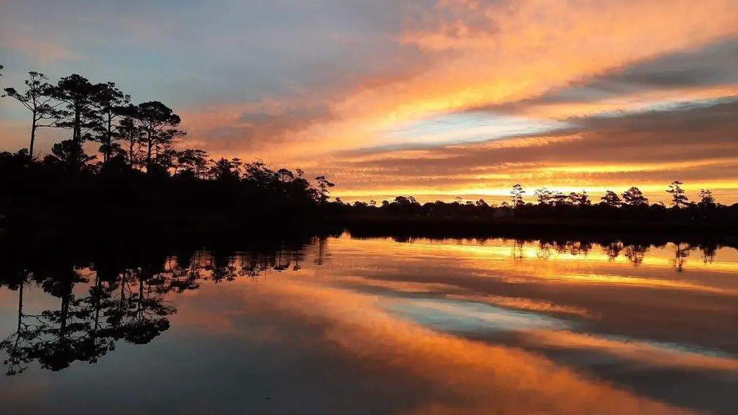
Photo from the managing agency (Recreation.gov / agency). Confirm current conditions before you go.
Overview Cedar Point Campground and Recreation Area is located in eastern North Carolina at the junction of the White Oak River and the Bogue Sound, immediately adjacent to the Swansboro Inlet. It is within 1 mile of full service shopping, and within 2 miles of NC's Crystal Coast and the barrier island beach community of Bogue Banks. The campground is extremely busy and reservations are recommended but must be made 3 days in advance. Of the 36 campsites, 4 are considered first-come, first served campsites that cannot be reserved or held, so a person must physically be there with their camping
Location
Research the approach roads and terrain here. When you're ready to drive, open directions in your preferred app below.
Research map · not turn-by-turn nav
34.69306, -77.08222
Get directions
Opens in the app you already use — we don't replace Apple Maps, Google Maps, or Waze.
Tip: download offline maps before you lose cell service in the woods.
Trip-ready check
Live · National Weather Service · updated 11:49 AMWhat to check the night before you leave — forecast, alerts, and daylight for Cedar Point, NC.
⚠ Coastal Flood Advisory
Coastal Flood Advisory issued October 26 at 4:20AM EDT until October 29 at 2:00PM EDT by NWS Newport/Morehead City NC
If travel is required, allow extra time as some roads may be closed. Do not drive around barricades or through water of unknown depth. Take the necessary actions to protect flood-prone property.
Today
72°F
Sunny
wind 7 to 10 mph
Tonight
44°F
Clear
wind 6 mph
Tuesday
74°F
Sunny
wind 3 to 8 mph
Tuesday Night
52°F
Mostly Clear
wind 8 mph
Wednesday
74°F
Mostly Sunny
7% rain · wind 8 to 13 mph
Wednesday Night
56°F
Mostly Cloudy
4% rain · wind 6 to 12 mph
Forecast: weather.gov point forecast. Conditions change — re-check the morning you leave.
Everything you need to know
- Drive time (set your own plan)
- Not estimated for this listing — map it from your home
- Access
- See details
- Hike-in
- Confirm on site / map
- Pass required
- Check site (America the Beautiful often covers day-use; camping fees separate)
- Parking
- See facility details
- Camping fee
- See Recreation.gov
- Max stay
- Check local rules
- Reservation
- Required · Recreation.govWindow: Typically 6 months rolling (check site)
Schedule this trip
Pick nights that show openings, save them to My Trips, then reserve on Recreation.gov so the campsite is actually held for you.
Immerse helps you plan and track dates. Official reservations (and payment) happen on Recreation.gov for public campgrounds — that's what actually holds your site.
Sample 2-night immersion plan
A starting template — not a booked itinerary. Adjust once you lock dates on Recreation.gov or with a host.
Day 0 — Departure
- Leave with buffer for the ~drive + grocery / ice stop
- Arrive, set up camp, short walk to orient
- Simple dinner + early night if traveling after work
Day 1 — Main immersion
- Longer hike or creek time in the afternoon
- Campfire, quiet evening
Day 2 — Morning + departure
- Slow morning, coffee, short walk
- Pack out (Leave No Trace)
- Optional stop on the way home
Share your adventure
Link a YouTube video from your trip so others can see what the land feels like — and so parks can see real people loving their places.
Post YouTube adventure →