Find a place to immerse
Live federal data (RIDB) + curated · GA
Drive times are rough estimates from metro Atlanta / Conyers — check your own route before you leave. Confirm fees, passes, and access on the official page before you go.
Map of results
Click a pin for the site. For turn-by-turn, open a site and use Google / Apple / Waze — we don't replace your preferred maps app.
Research map · not turn-by-turn nav
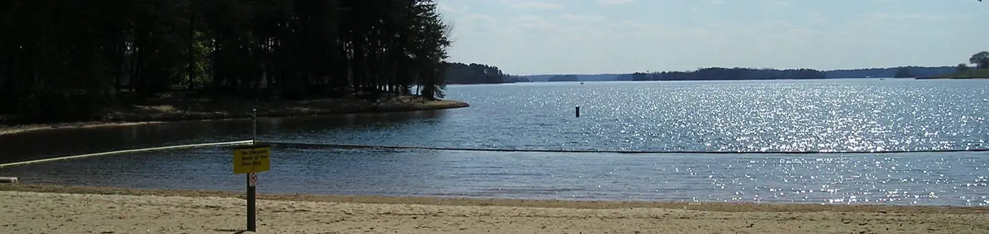
SPRINGFIELD
DevelopedUS Army Corps of Engineers — Hartwell Lake
~2h 35m
See site details
Check site (America the Beauti…
See facility details
See Recreation.gov
Yes
Overview Springfield Campground is one of Hartwell’s most popular camping destinations consisting of 60 acres of primarily Virginia pine and some mixed hardwoods. The area presently offers 1 gatehouse/entrance, 2 park attendant campsites, 79 public campsites with full water and electric hookups, 6 comfort stations (4 with showers), 1 dump station, 1 boat ramp, 1 courtesy dock, 3 playgrounds, 1 designated swim area/beach, and associated paved roads and parking areas throughout. Recreation Fishing is one of the most popular activities at the lake. Sought-after species include largemouth bass, br
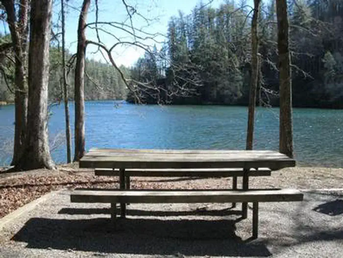
LAKE RABUN BEACH RECREATION AREA
DevelopedUSDA Forest Service — Chattahoochee-Oconee National Forest
~2h 25m
See site details
Check site (America the Beauti…
See facility details
See Recreation.gov
Yes
Overview Cradled in the hills of the North Georgia Mountains overlooking beautiful Lake Rabun, this developed recreation area offers camping and hiking. Across the road, the lake offers plenty of water activities like swimming, boating, fishing, and ample opportunities to absorb the peaceful lake scenery. Recreation At the rear of the campground, visitors will find the trailhead for the popular Angel Falls/Panther Falls Hiking Trail (trail length 1.7 miles). The swim area has two picnic tables, a roped-off area for swimmers and restrooms. A boat launch area and a fishing peer are near the swim
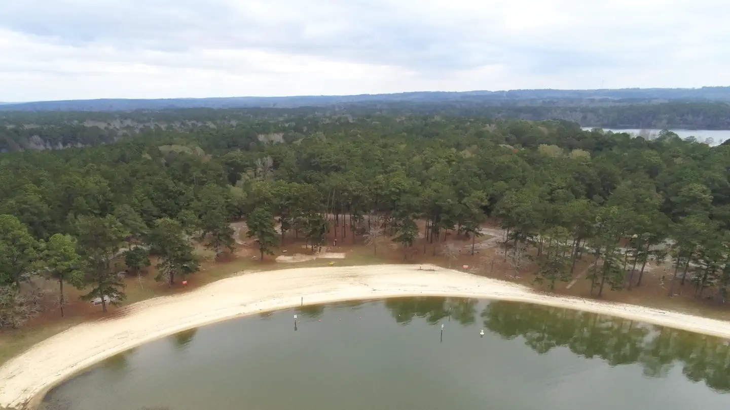
COTTON HILL
DevelopedUS Army Corps of Engineers — Walter F. George Lake
~4h 29m
See site details
Check site (America the Beauti…
See facility details
See Recreation.gov
Yes
Overview Cotton Hill Campground is situated on the shores of Walter F. George Lake on the Georgia and Alabama border. The lake is a great place to get away for a week, a weekend or just an afternoon. Boating, swimming, fishing and camping are popular activities. Click here for a virtual tour of the many facilities at Walter F. George Lake. Recreation The Chattahoochie River lakes are an angler's paradise, where largemouth bass, white bass, hybrids, crappie, channel catfish and bream are found. The lake's 640 miles of shoreline offer many excellent locations for bank fishing, and a boat ramp is
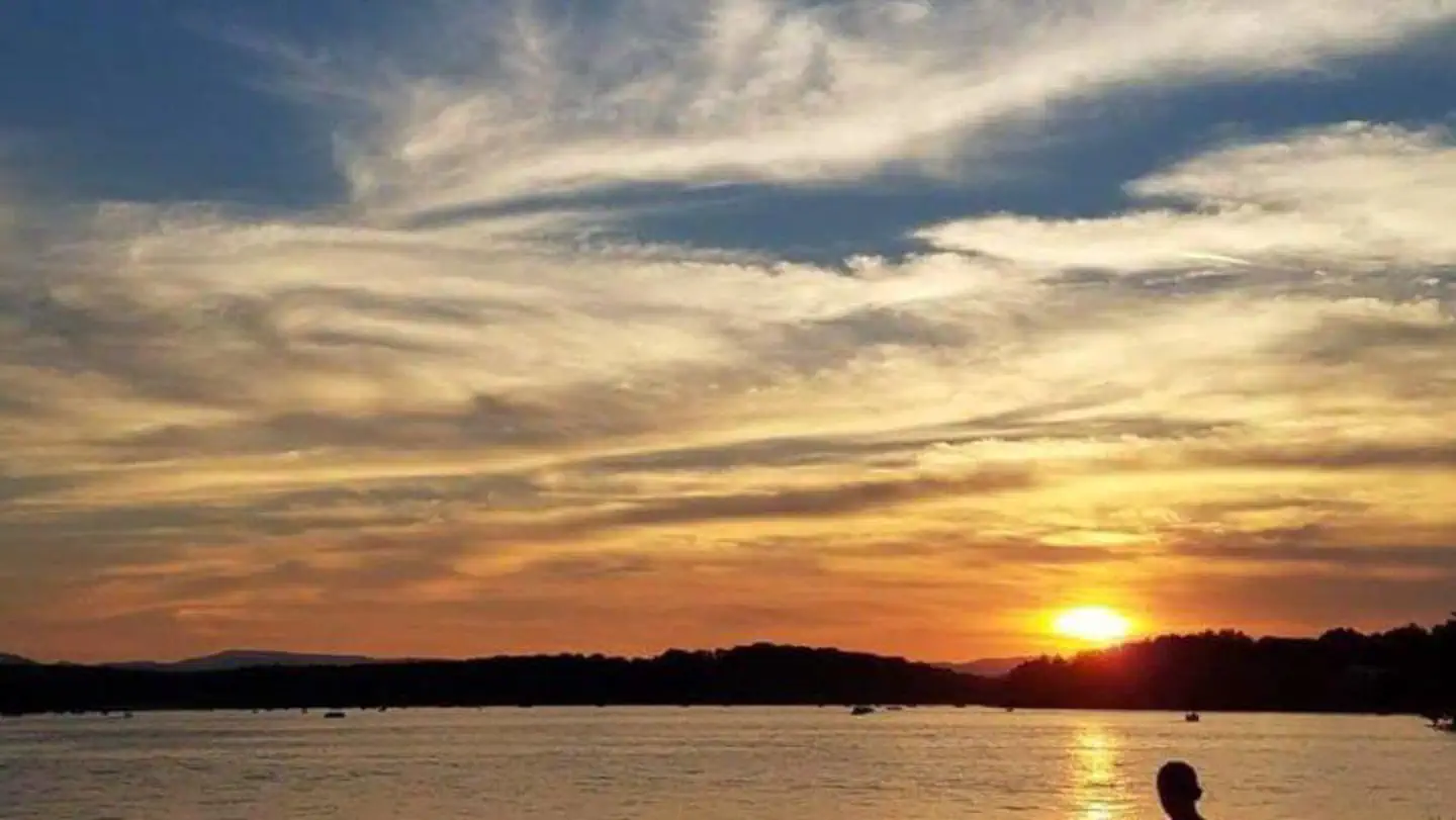
MORGANTON POINT
DevelopedUSDA Forest Service — Chattahoochee-Oconee National Forest
~2h 31m
See site details
Check site (America the Beauti…
See facility details
See Recreation.gov
Yes
Overview The Morganton Point Recreation Area is located in the Blue Ridge Ranger District, within the beautiful northeast Georgia mountains. Pristine water and scenic views draw visitors from around the state and region. Recreation The Morganton Point Recreation Area offers visitors year-round recreation opportunities including camping, picnicking, boating, swimming and hiking, all centered around beautiful Lake Blue Ridge. The lake is open to motor boats and jet skis, as well as non-motorized watercraft. Fishing in the 3,290-acre lake is a popular activity for visitors to the Morganton Point

VICTORIA CAMPGROUND
DevelopedUS Army Corps of Engineers — Allatoona Lake
~1h 26m
See site details
Check site (America the Beauti…
See facility details
See Recreation.gov
Yes
Overview Victoria Campground sits on the banks of Allatoona Lake, providing visitors with a variety of water activities in the green rolling hills of Georgia. Recreation Allatoona Lake is one of the most frequently visited Corps of Engineers lakes in the nation. Nearly 7 million visitors each year enjoy picnicking, swimming, camping, hunting, fishing, boating and observing wildlife along the 270 miles of shoreline. The lake is annually stocked with bass, crappie, bream, gar and catfish, making it a popular destination for anglers. Fishing jetties are available at numerous shoreline fishing loc

GALT'S FERRY DAY USE AREA (GA)
DevelopedUS Army Corps of Engineers — Allatoona Lake
~1h 26m
See site details
Check site (America the Beauti…
See facility details
See Recreation.gov
Yes
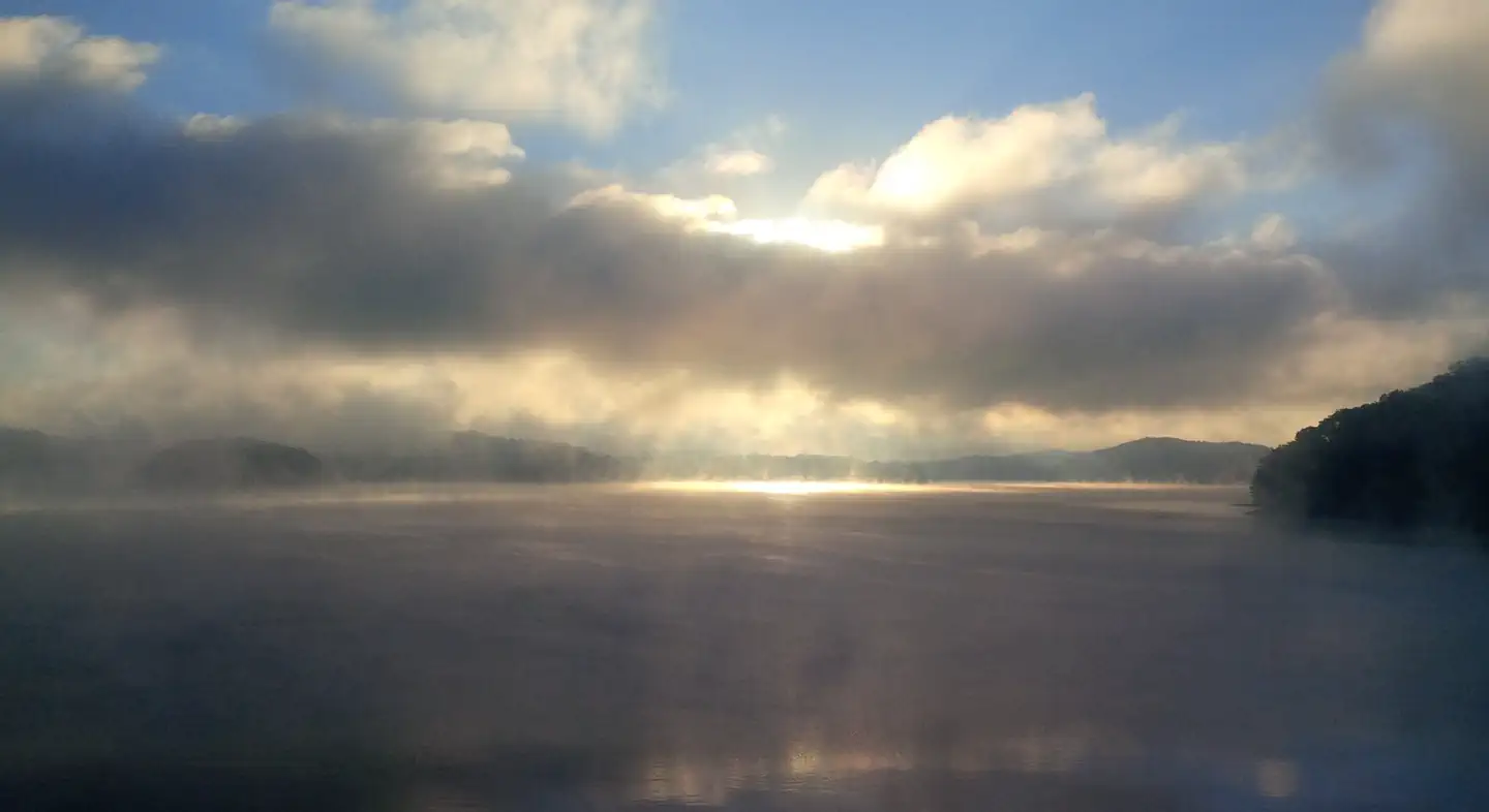
Overview Galt's Ferry Day Use Area is situated on Allatoona Lake on the Etowah River, a tributary of the Coosa River. The serene lake and peaceful surroundings offer a relaxing getaway from the nearby city of Atlanta, just 35 miles south. Visitors enjoy various water sports, hiking, hunting and viewing wildlife. Recreation Boating, fishing, canoeing, kayaking, and swimming are popular activities on the 11-mile long Allatoona Lake. Its 270 miles of shoreline provide great opportunities for picnicking, hiking, hunting and relaxing. Facilities Galt's Ferry Day Use Area has an open shelter with a
REREG DAM DAY USE AREA SHELTER
DevelopedUS Army Corps of Engineers — Carters Lake
~2h 15m
See site details
Check site (America the Beauti…
See facility details
See Recreation.gov
Yes
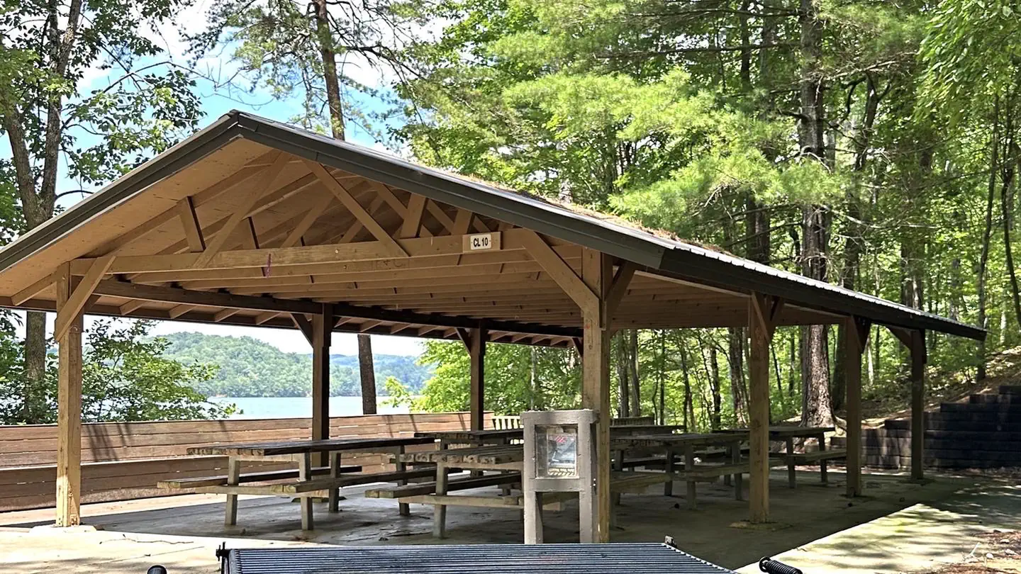
Overview Reregulation Dam Day Use Area is actually two day use areas situated on the North and South Sides of the Coosawattee River. Both areas provide picnic sites, fishing piers and water access. The South Regulation Area encompasses an award winning nature trail that has an easy hike rating and can be enjoyed by all. The North Regulation Area contains a shelter that can be reserved. Recreation Fishing is a popular activity at the Reregulation Dam. Major species include bass (hybrid, striped and spotted) crappie, walleye, bream and catfish. Facilities The area provides picnic sites, restroom
DAMSITE DAY USE AREA SHELTER
DevelopedUS Army Corps of Engineers — Carters Lake
~2h 12m
See site details
Check site (America the Beauti…
See facility details
See Recreation.gov
Yes
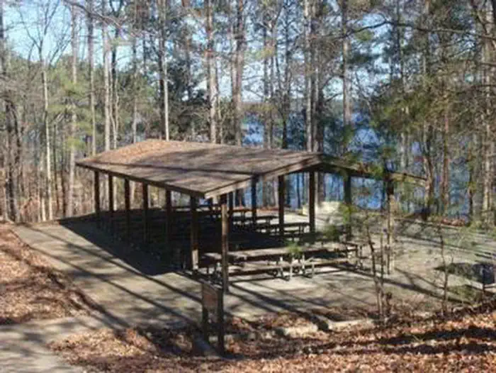
Overview Damsite Day Use Area is located on Carters Lake in the North Georgia Mountains about 70 miles north of Atlanta. The sparkling waters and rugged shoreline provide a beautiful surrounding for a variety of outdoor recreational opportunities including camping, hiking, boating, wildlife viewing, fishing, and picnicking. Recreation Boaters visit Carters Lake to enjoy its solitude and scenic beauty. Whether in a powerboat or sailboat on the open water or paddling along the shoreline in a canoe, Carters Lake offers enjoyable boating experiences for everyone. Fishing is a popular activity on t
BUFORD DAM PARK SHELTERS (GA)
DevelopedUS Army Corps of Engineers — Lake Sidney Lanier
~1h 0m
See site details
Check site (America the Beauti…
See facility details
See Recreation.gov
Yes
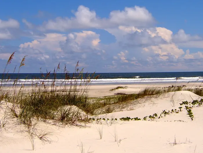
Overview Buford Dam Park lies just north of Buford Dam on Lake Sidney Lanier. The site features beautiful views of the lake as well as excellent access to swimming, picnicking and boating. The lake, named for the poet, Sidney Lanier, is well known for its aqua-blue colored water, spectacular scenery and variety of recreational activities. Each year, approximately 11.8 million people come to visit. Recreation Visitors can access the Laurel Ridge Hiking Trail from multiple locations and parks. The trail is a 3.5 mile loop that offers great views of the lake and Chattahoochee River. Fisherman can
Cumberland Island National Seashore Camping Permits
DevelopedNational Park Service — Cumberland Island National Seashore
~7h 26m
See site details
Check site (America the Beauti…
See facility details
See Recreation.gov
Yes
Overview Whether you are looking to spend a night with family and friends around a campfire under the moss covered branches of the live oak trees, or looking for the rugged challenges and solitude of the wilderness, you will find it on Cumberland Island National Seashore. The park includes a designated Wilderness area, undeveloped beaches, historic sites, cultural ruins, critical habitat and nesting areas, as well as numerous plant and animal communities. The national seashore also offers a wide variety of camping opportunities. Watch the "Camping on Cumberland Island" video for information to

PAYNE CAMPGROUND-ALLATOONA LAKE
DevelopedUS Army Corps of Engineers — Allatoona Lake
~1h 20m
See site details
Check site (America the Beauti…
See facility details
See Recreation.gov
Yes
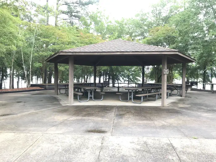
Overview Payne Campground sits on the banks of Allatoona Lake, providing visitors with a variety of water activities in the green rolling hills of Georgia. Recreation Allatoona Lake is one of the most frequently visited Corps of Engineers lakes in the nation. Nearly 7 million visitors each year enjoy picnicking, swimming, camping, hunting, fishing, boating and observing wildlife along the 270 miles of shoreline. The lake is annually stocked with bass, crappie, bream, gar and catfish, making it a popular destination for anglers. Fishing jetties are available at numerous shoreline fishing locati
LAKE SPRINGS
DevelopedUS Army Corps of Engineers — J. Strom Thurmond Lake
~3h 4m
See site details
Check site (America the Beauti…
See facility details
See Recreation.gov
Yes
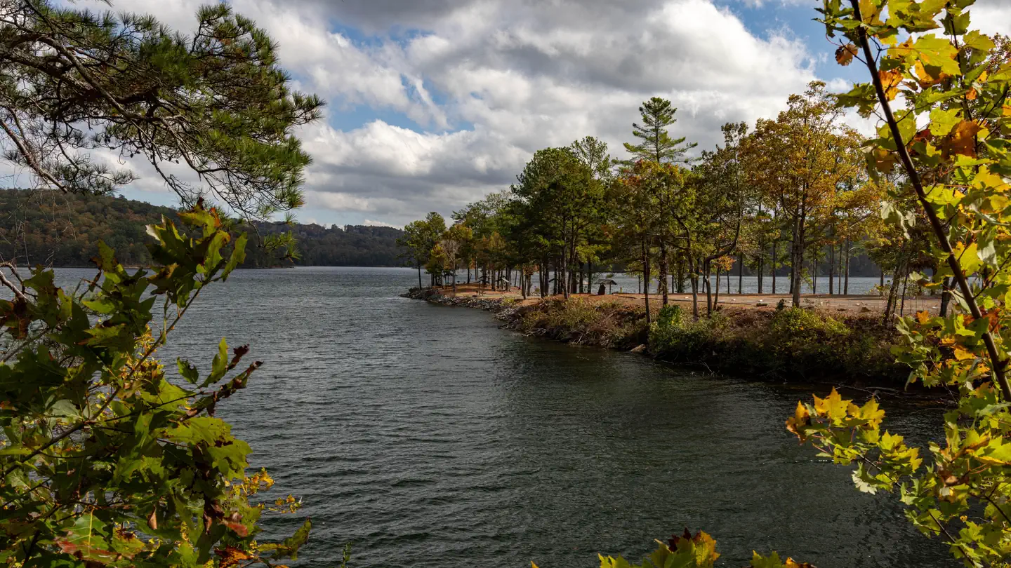
Overview Lake Springs Recreation Area is one of the most popular parks on J. Strom Thurmond Lake. The park is located on Georgia State Highway 221 within twenty minutes of Augusta, Georgia. The 70,000 acre lake and its 1,000+ miles of shoreline provide excellent boating, water skiing, swimming, fishing, hiking and picnicking. A $5 per vehicle day use fee is required to enter the park. All Federal Passes are accepted. Payment can be made on site, credit card only, no cash accepted. The boat ramp and fishing pier are open year-round. All swim beaches, picnic tables, and group shelters close afte
WOODRING DAY USE AREA SHELTER
DevelopedUS Army Corps of Engineers — Carters Lake
~2h 13m
See site details
Check site (America the Beauti…
See facility details
See Recreation.gov
Yes
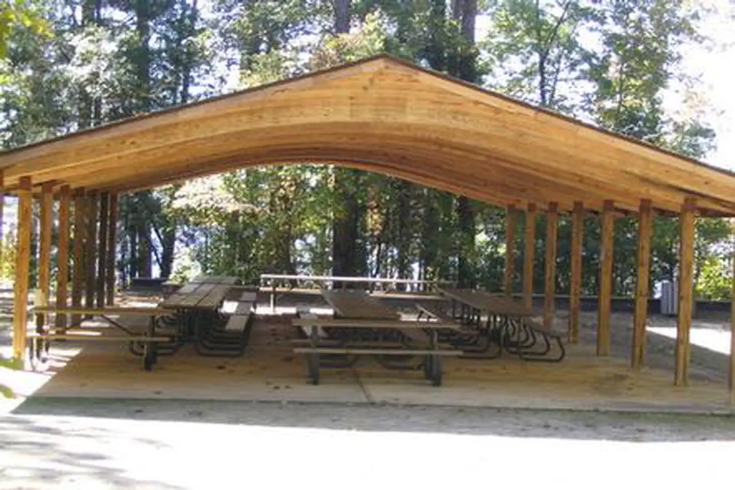
Overview Woodring Day Use Area is located in the North Georgia Mountains about 70 miles north of Atlanta on Carters Lake. The sparkling waters and rugged shoreline provide a beautiful surrounding for a variety of outdoor recreational opportunities including camping, hiking, boating, mountain biking, fishing, hunting and picnicking. Recreation Boaters visit Carters Lake to enjoy its solitude and scenic beauty. Whether in a powerboat or sailboat on the open water or paddling along the shoreline in a canoe, Carters Lake offers enjoyable boating experiences for everyone. Fishing is a popular activ
AMITY RECREATION AREA
DevelopedUS Army Corps of Engineers — J. Strom Thurmond Lake
~2h 39m
See site details
Check site (America the Beauti…
See facility details
See Recreation.gov
Yes
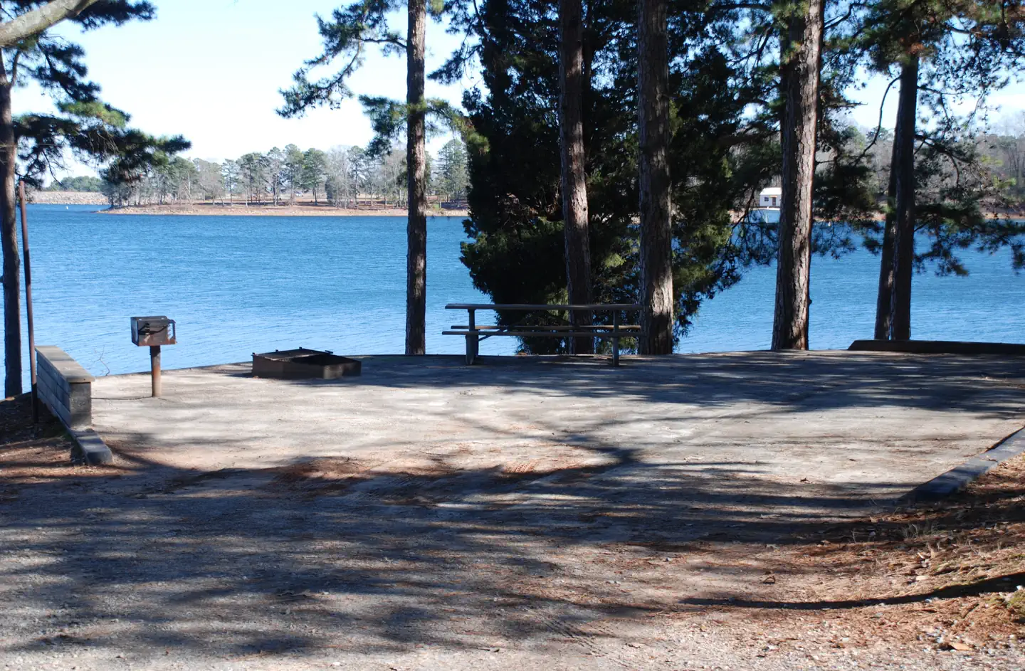
Overview Amity Recreation Area is one of the most popular parks on J. Strom Thurmond Lake. The large, 70,000-acre lake and its 1,000 miles of shoreline provide excellent boating, water skiing, swimming, fishing, hiking and picnicking. Recreation Thurmond Lake provides some of the best fishing, hunting and water sports in the southeastern United States. Anglers will find largemouth bass, bream, crappie, catfish and striped bass. The large lake offers endless boating, waterskiing, jet skiing, canoeing and swimming opportunities. Amity Recreation Area provides a boat ramp and swimming area. Facil
WATSADLER
DevelopedUS Army Corps of Engineers — Hartwell Lake
~2h 26m
See site details
Check site (America the Beauti…
See facility details
See Recreation.gov
Yes
Overview Watsadler Campground is a 36 acre site consisting of a relatively dense cover of pine and mixed hardwoods. The area is open year-round and is one of Hartwell’s most popular camping destinations. The site presently offers camping and boat launching facilities to include 1 gatehouse/entrance, 2 park attendant campsites, 51 public campsites with full water/electric hookups, 3 comfort stations (2 with showers), 1 dump station, 1 boat ramp, 1 courtesy dock, 2 playgrounds, and associated paved roads and parking areas throughout. Recreation Fishing is one of the most popular activities at th
Van Pugh South Day Use Facility
DevelopedUS Army Corps of Engineers — Lake Sidney Lanier
~1h 4m
See site details
Check site (America the Beauti…
See facility details
See Recreation.gov
Yes
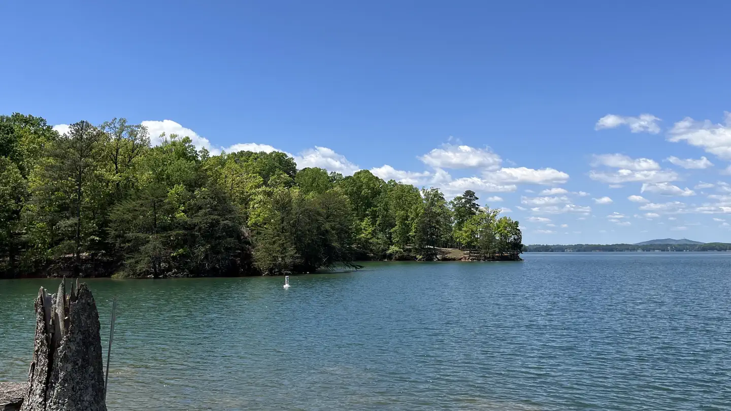
Overview Van Pugh South Day Use Facility lies on the banks of Lake Sidney Lanier in the foothills of the Blue Ridge Mountains of Northern Georgia. The popular lake boasts nearly 700 miles of shoreline and over 100 small islands, providing over 11 million annual visitors with limitless recreation opportunities. Recreation Lake Lanier offers excellent boating, fishing and swimming. The lake offers additional opportunities for kayaking, wake boarding and much more. Facilities Van Pugh South Day Use Facility ofers 54 small group picnic sites. Some of these sites come with water and electricity. Am
BOLDING MILL
DevelopedUS Army Corps of Engineers — Lake Sidney Lanier
~1h 23m
See site details
Check site (America the Beauti…
See facility details
See Recreation.gov
Yes
Overview Bolding Mill Campground is an excellent choice for camping on Lake Sidney Lanier, offering plenty of comfortable amenities in addition to a well-kept facility. Visitors will enjoy fishing and boating on the lake as well as the lush picnic area and large swimming beach, perfect for families. Recreation The large swimming beach is concrete, which provides a gentle slope and ADA access for visitors. An on-site boat ramp and fishing pier provide access to many water activities. Land-based recreation features picnic shelters and playground area near the front of the park. Facilities The ca
WEST DAM
DevelopedUS Army Corps of Engineers — J. Strom Thurmond Lake
~3h 7m
See site details
Check site (America the Beauti…
See facility details
See Recreation.gov
Yes
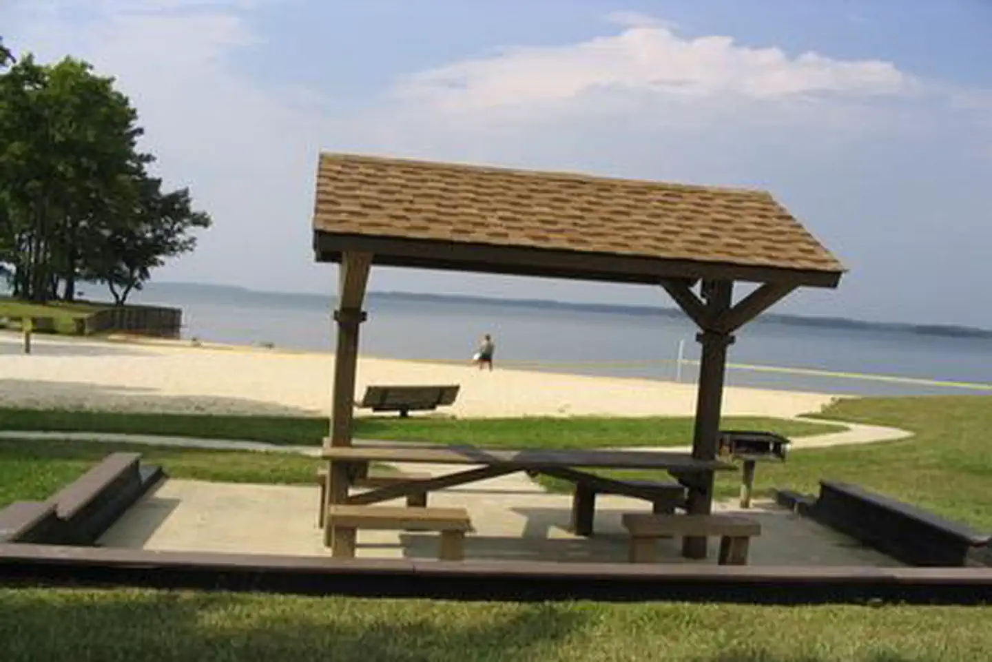
Overview West Dam Recreation Area is one of the most popular parks on J. Strom Thurmond Lake. With 70,000 acres of surface-area and 1,000+ miles of shoreline, J. Strom Thurmond Lake provides excellent boating, water skiing, swimming, fishing, hiking and picnicking opportunities. Recreation Thurmond Lake provides some of the best fishing, hunting, and water sports in the southeastern US. Anglers fish for largemouth bass, bream, crappie, catfish and striped bass. The large lake offers endless boating, water skiing, jet skiing, canoeing and swimming opportunities. Hikers have access to many miles

BROYLES
DevelopedUS Army Corps of Engineers — Hartwell Lake
~2h 40m
See site details
Check site (America the Beauti…
See facility details
See Recreation.gov
Yes
Overview Broyles Recreation Area consists of 24 acres with a gentle to moderate slope and vegetation consisting primarily of pine. The site presently offers day use and boat launching facilities consisting of 1 volunteer host campsite, 14 picnic sites, 1 standard picnic shelter with water and electric service, 1 three lane boat ramp, 1 courtesy dock, 1 comfort station, 1 playground, 1 designated swim area/beach, 1 fishing pier, and associated paved roads and parking areas throughout. Parking expansion to add approximately 30 additional boat trailer spaces and 8 single car spaces completed in 2
TWIN LAKES (SC)
DevelopedUS Army Corps of Engineers — Hartwell Lake
~2h 47m
See site details
Check site (America the Beauti…
See facility details
See Recreation.gov
Yes
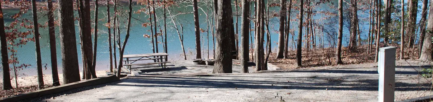
Overview Twin Lakes Recreation Area is a 152-acre site consisting of a dense overstory of pines and mixed hardwoods. The site presently offers camping and a separate day use and boat launching area. Day use and camping facilities are separated to prevent user conflicts. The area is moderate to gently sloping with the northernmost campsites being located on the steepest terrain. Campgrounds facilities presently include a gatehouse/entrance, 2 Park Attendant campsites, 102 public campsites, 1 picnic shelter, 5 comfort stations with showers, 2 dump stations, 5 playgrounds, 1 designated swim area/
NORTHBANK DAY USE AREA SHELTER
DevelopedUS Army Corps of Engineers — Carters Lake
~2h 13m
See site details
Check site (America the Beauti…
See facility details
See Recreation.gov
Yes
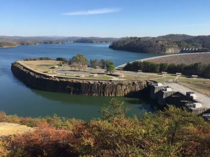
Overview Northbank Day Use Area is located in the North Georgia Mountains about 70 miles north of Atlanta on Carters Lake. The sparkling waters and rugged shoreline provide a beautiful surrounding for a variety of outdoor recreational opportunities including camping, hiking, boating, mountain biking, fishing, hunting and picnicking. Norhtbank provides an excellent view of both Carters Lake and the ReReg Lake from its location on top of Carters Dam. Recreation Northbank provides multiple recreation opportunities including fishing, hiking trails, basketball, volleyball and sightseeing. Facilitie
EASTBANK
DevelopedUS Army Corps of Engineers — Lake Seminole
~6h 14m
See site details
Check site (America the Beauti…
See facility details
See Recreation.gov
Yes
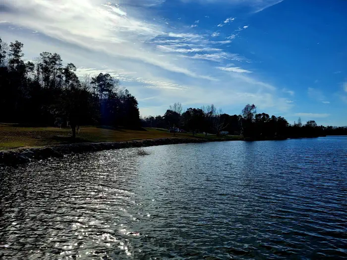
Overview Eastbank Campground is located on Lake Seminole on the Georgia-Florida state line. The lake and surrounding area provide a variety of outdoor recreational opportunities for fishing, camping, boating, picnicking, hiking, biking and birding. Recreation Lake Seminole is known as one of the best sites for sports fishing in America. Extensive stump and grass beds provide abundant cover where anglers fish for largemouth, hybrid, striped and white bass. Sizable populations of catfish, crappie and bream are also present. Over 79 species of fish have been identified in the lake. Boating, water
SAWNEE
DevelopedUS Army Corps of Engineers — Lake Sidney Lanier
~1h 3m
See site details
Check site (America the Beauti…
See facility details
See Recreation.gov
Yes
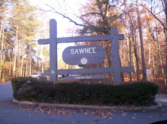
Overview Sawnee Campground lies just north of the Buford Dam on Lake Sidney Lanier. The campground features beautiful views of the lake as well as excellent access to boating and swimming. The lake, named for the poet, Sidney Lanier, is well known for its aqua-blue colored water, spectacular scenery and variety of recreational activities. Each year, over 11 million people come to visit. Recreation Sawnee Campground offers many outdoor recreation opportunities including fishing and swimming. On the lake there are opportunities for wake boarding, kayaking, boating and much more. There's also a s
SINGING PINES
DevelopedUS Army Corps of Engineers — Hartwell Lake
~2h 44m
See site details
Check site (America the Beauti…
See facility details
See Recreation.gov
Yes
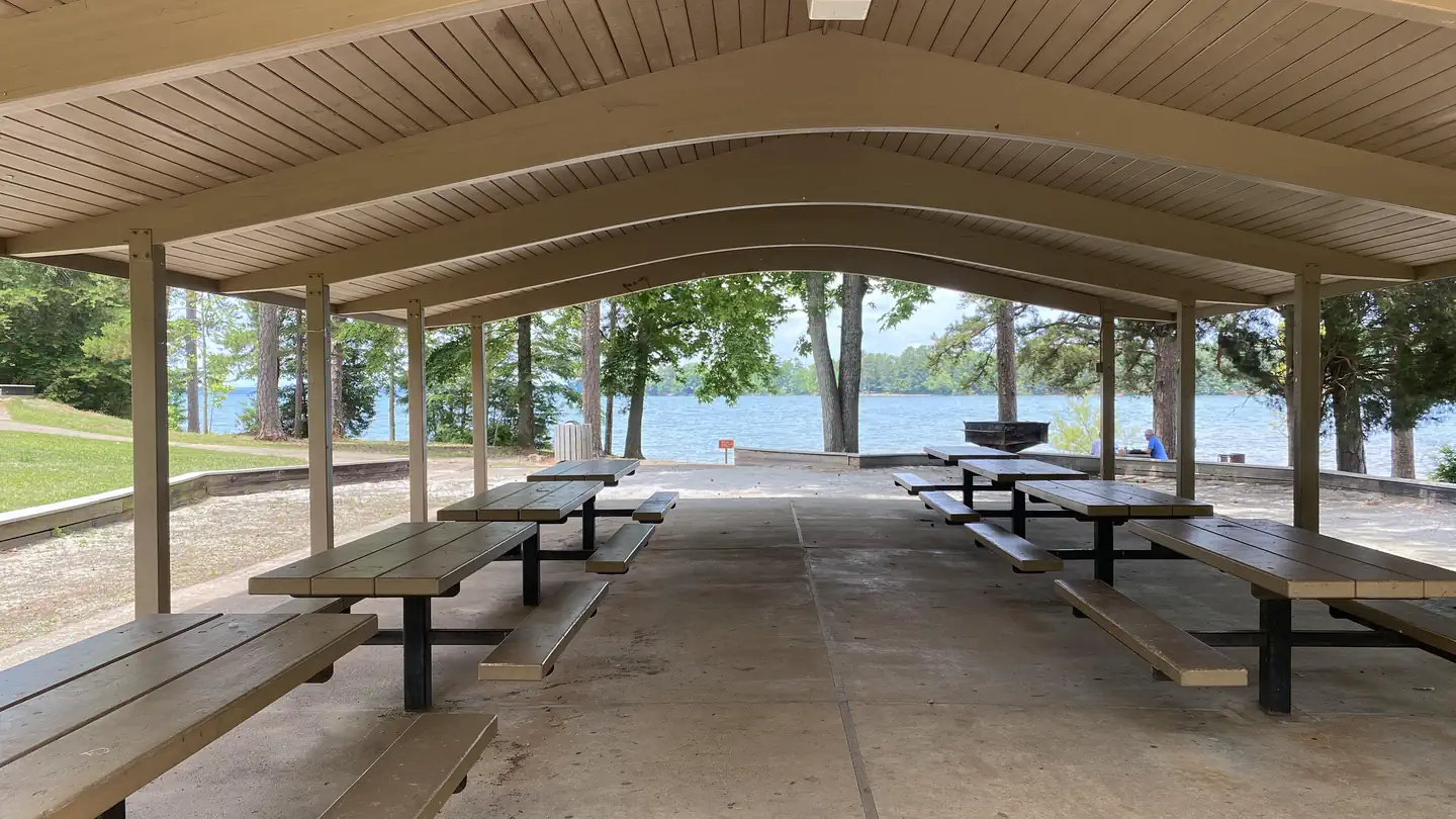
Overview Singing Pines Recreation Area consists of 42 acres. The site presently offers day-use and boat-launching facilities consisting of 1 gatehouse/entrance, 57 picnic sites, 2 standard picnic shelters with water and electric service, 5 mini-shelters, 1 boat ramp, 1 courtesy dock, 2 comfort stations, 2 playground areas, 2 designated swim areas/beaches, 1 fishing pier, and associated paved roads and parking areas throughout. The area experiences high levels of intense public use during peak recreation season. Recreation Fishing is one of the most popular activities at the lake. Sought-after

TWIN LAKES DAY USE AREA
DevelopedUS Army Corps of Engineers — Hartwell Lake
~2h 46m
See site details
Check site (America the Beauti…
See facility details
See Recreation.gov
Yes
Overview Twin Lakes Recreation Area is a 152-acre site consisting of a dense overstory of pines and mixed hardwoods. Day Use facilities presently include a new gatehouse/entrance installed in 2017, 1 volunteer host campsite, 27 picnic sites, 2 standard picnic shelters with water and electric service, 1 two lane boat ramp, 1 courtesy dock, 2 comfort stations, 1 playground, 2 designated swim areas/beaches, and associated paved roads and parking areas throughout. This area experiences moderate to high levels of intense public use during the peak recreation season, especially the ramp area that is
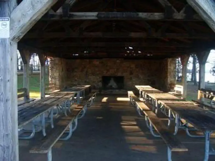
VAN PUGH NORTH PARK SHELTER (GA)
DevelopedUS Army Corps of Engineers — Lake Sidney Lanier
~1h 4m
See site details
Check site (America the Beauti…
See facility details
See Recreation.gov
Yes
Overview Van Pugh North Park lies approximately 15 miles north of Buford Dam on Lake Sidney Lanier. The site features beautiful views of the lake as well as excellent access to swimming, picnicking and boating. The lake, named for the poet, Sidney Lanier, is well known for its aqua-blue colored water, spectacular scenery and variety of recreational activities. Each year, approximately 11.8 million people come to visit. Recreation Visitors can access the Laurel Ridge Hiking Trail from multiple locations and parks. The trail is a 3.5 mile loop that offers great views of the lake and Chattahooche
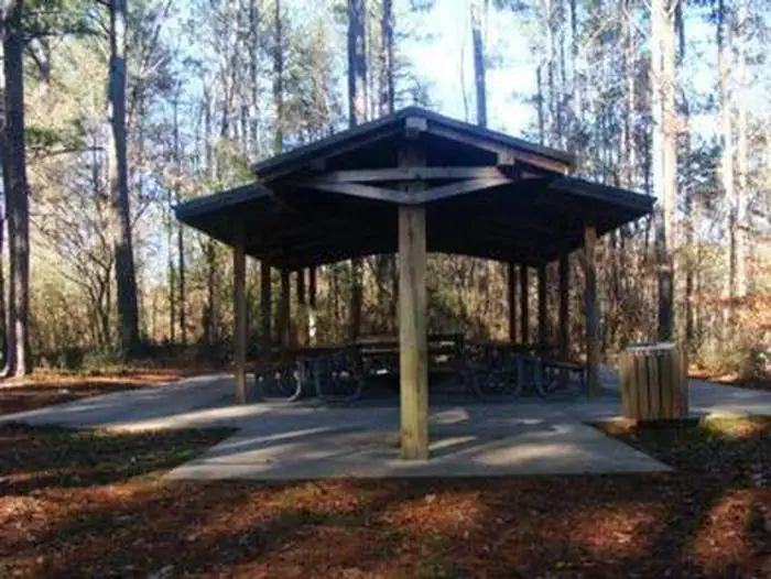
THOMPSON CREEK PARK SHELTER (GA)
DevelopedUS Army Corps of Engineers — Lake Sidney Lanier
~1h 24m
See site details
Check site (America the Beauti…
See facility details
See Recreation.gov
Yes
Overview Thompson Creek Park lies approximately 30 miles north of Buford Dam on Lake Sidney Lanier. The site features beautiful views of the lake as well as excellent access to swimming, picnicking and boating. The lake, name of the poet, Sidney Lanier, is well known for its aqua-blue colored water, spectacular scenery and variety of recreational activities. Each year, approximately 11.8 million people come to visit. Recreation Visitors can access the Laurel Ridge Hiking Trail from multiple locations and parks. The trail is a 3.5 mile loop that offers great views of the lake and Chattahoochee
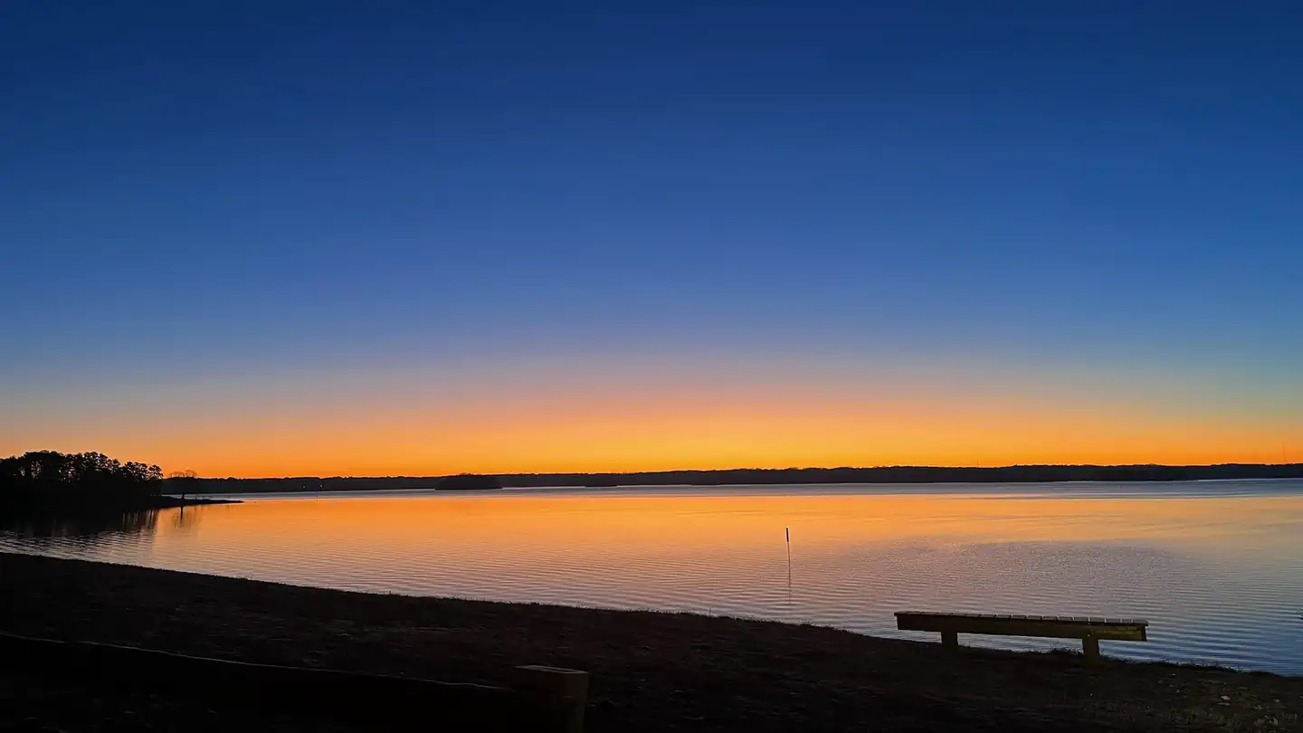
LANIER PARK SHELTER (GA)
DevelopedUS Army Corps of Engineers — Lake Sidney Lanier
~1h 0m
See site details
Check site (America the Beauti…
See facility details
See Recreation.gov
Yes
Overview Lanier Park lies just north of Buford Dam on Lake Sidney Lanier. The site features beautiful views of the lake as well as excellent access to swimming, picnicking and boating. The lake, named for the poet, Sidney Lanier, is well known for its aqua-blue colored water, spectacular scenery and variety of recreational activities. Each year, approximately 11.8 million people come to visit. Recreation Visitors can access the Laurel Ridge Hiking Trail from multiple locations and parks. The trail is a 3.5 mile loop that offers great views of the lake and Chattahoochee River. Fisherman can exp
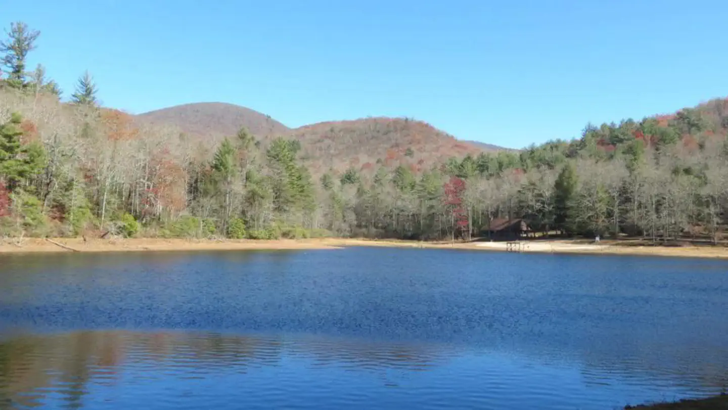
Lake Winfield Scott Recreation Area
DevelopedUSDA Forest Service — Chattahoochee-Oconee National Forest
~2h 13m
See site details
Check site (America the Beauti…
See facility details
See Recreation.gov
Yes
Overview Lake Winfield Scott Recreation Area offers visitors year-round recreation opportunities including camping, picnicking, boating, swimming and hiking, all centered around beautiful Lake Winfield Scott. The area is situated high in a mountain valley within the Chattahoochee-Oconee National Forest, approximately 80 miles from Atlanta, Georgia. The facility offers a rental cabin with electricity and water, as well as sites for tent and RV camping. Recreation The Lake Winfield Scott Beach includes a designated swimming area, picnic tables, a bathhouse, pavilions (by reservation only), a pla

COOPER BRANCH No 2 DAY USE AREA (GA)
DevelopedUS Army Corps of Engineers — Allatoona Lake
~1h 36m
See site details
Check site (America the Beauti…
See facility details
See Recreation.gov
Yes
Overview Cooper Branch #2 Day Use Area is situated on Allatoona Lake on a portion of the Etowah River, which is a tributary of the Coosa River. The serene lake and peaceful surroundings offer visitors a relaxing getaway from the nearby city of Atlanta, just 35 miles south. Visitors enjoy a variety of outdoor activities including water sports, picnicking, hiking, hunting and viewing wildlife. Recreation Various water sports, boating, fishing, canoeing, kayaking, and paddle boarding are popular activities on the 11-mile long Allatoona Lake. The 270 miles of shoreline provides great opportunities
BIG OAKS
DevelopedUS Army Corps of Engineers — Hartwell Lake
~2h 27m
See site details
Check site (America the Beauti…
See facility details
See Recreation.gov
Yes
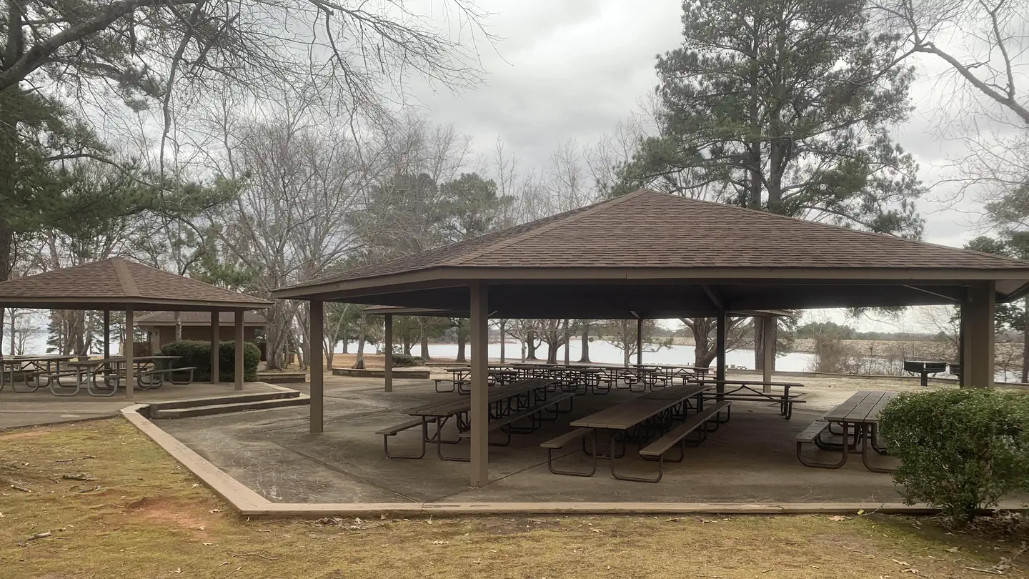
Overview Big Oaks Recreation Area is a 12 acre gently sloping site with good grass cover and scattered pine and hardwood trees throughout.. . . The area experiences high levels of intense public use during peak recreation season and serves to host numerous large special events annually, e.g. Hartwell Dam Run, Pre-Fourth Fireworks, etc. The site presently offers day use and boat launching facilities to include a large picnic shelter (with water and electric service), 26 picnic sites, a two lane boat ramp, 1 courtesy dock, 1 comfort station, 1 playground, and associated paved roads and parking a
BOLDING MILL SHELTERS (GA)
DevelopedUS Army Corps of Engineers — Lake Sidney Lanier
~1h 23m
See site details
Check site (America the Beauti…
See facility details
See Recreation.gov
Yes
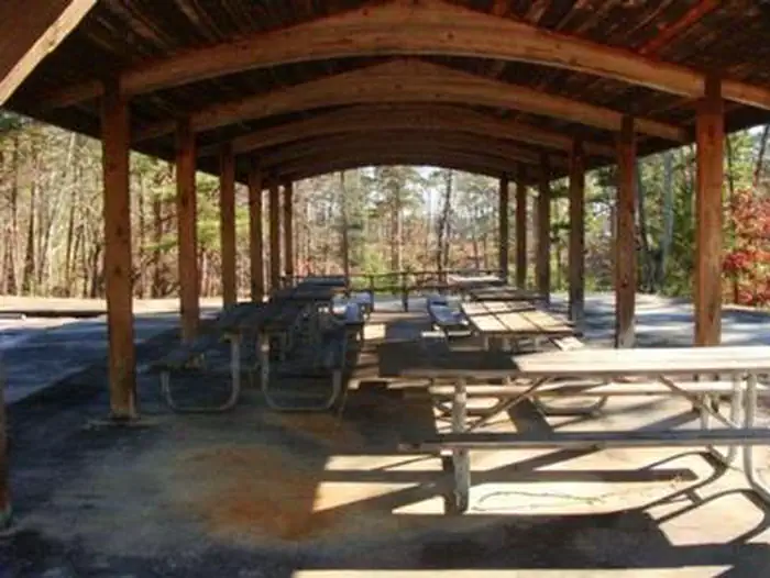
Overview Bolding Mill Park lies approximately 30 miles north of Buford Dam on Lake Sidney Lanier. The site features beautiful views of the lake as well as excellent access to swimming, picnicking and boating. The lake, named for the poet, Sidney Lanier, is well known for its aqua-blue colored water, spectacular scenery and variety of recreational activities. Each year, approximately 11.8 million people come to visit. Recreation Visitors can access the Laurel Ridge Hiking Trail from multiple locations and parks. The trail is a 3.5 mile loop that offers great views of the lake and Chattahoochee
COOPER'S FURNACE DAY USE AREA (GA)
DevelopedUS Army Corps of Engineers — Allatoona Lake
~1h 36m
See site details
Check site (America the Beauti…
See facility details
See Recreation.gov
Yes
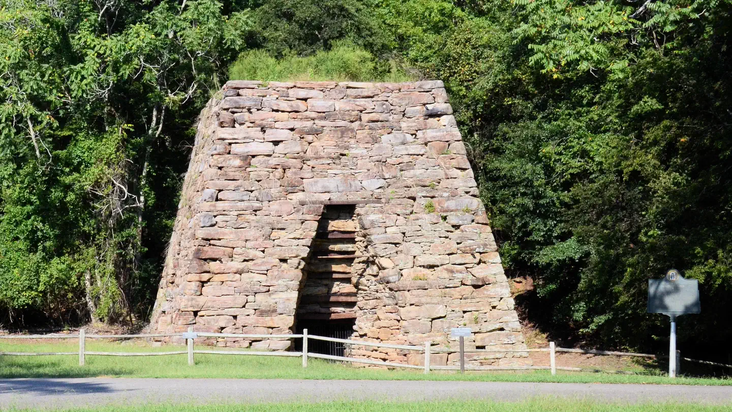
Overview Cooper's Furnace Day Use Area is situated on the Etowah River, a tributary of the Coosa River. This Day Use Area is downstream of the dam which impounds Allatoona Lake. The river and peaceful surroundings offer a relaxing getaway from the nearby city of Atlanta, just 35 miles south. Visitors enjoy various water sports, hiking, hunting and viewing wildlife. Recreation Fishing, canoeing, and kayaking are popular activities along the Etowah River. Facilities Cooper's Furnace Day Use Area has two open shelters which both have a seating capacity of 60 people maximum. Shelter B is the first
DUCKETT MILL
DevelopedUS Army Corps of Engineers — Lake Sidney Lanier
~1h 19m
See site details
Check site (America the Beauti…
See facility details
See Recreation.gov
Yes
Overview Duckett Mill Campground is located on Lake Sidney Lanier. With over 692 miles of shoreline, the lake is well known for its aqua-blue water, spectacular scenery and variety of recreational activities. The lake has over 11 million visitors annually. Constructed by the U.S. Army Corps of Engineers in the 1950s, Lake Lanier is a multi-purpose lake that provides for flood protection, power production, water supply, navigation, recreation and fish and wildlife management. Recreation Duckett Mill Campground offers many outdoor recreation opportunities including fishing, swimming and bike rid

RIVERSIDE PARK DAY USE AREA (GA)
DevelopedUS Army Corps of Engineers — Allatoona Lake
~1h 36m
See site details
Check site (America the Beauti…
See facility details
See Recreation.gov
Yes
Overview Riverside Park Day Use Area is situated along the Etowah River, a tributary of the Coosa River. This Day Use Area is downstream of the dam which impounds Allatoona Lake. The river and peaceful surroundings offer a relaxing getaway from the nearby city of Atlanta, just 35 miles south. Visitors enjoy various water sports, hiking, hunting and viewing wildlife. Recreation Boating, fishing, canoeing, kayaking, and swimming are popular activities along the 164-mile Etowah River waterway that rises northwest of Dahlonega, Georgia, north of Atlanta. Facilities Riverside Park Day Use Area has
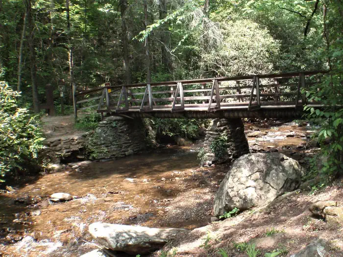
Desoto Falls Recreation Area
DevelopedUSFS — Chattahoochee-Oconee NF
~1h 45m
0.1 mi · +20 ft
None for camping. America the …
Included with camping
$20–$40 / night
Yes
Popular developed campground with easy access to a beautiful double waterfall. Great first trip into the mountains — short hike to the falls right from the area.
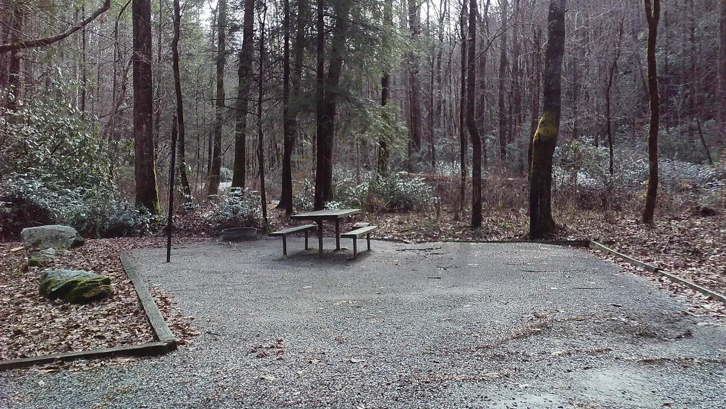
Tate Branch Campground
DevelopedUSFS — Chattahoochee-Oconee NF
~2h 10m
Drive-up
None for camping
Included
$15 / night
Yes
Quiet 17-site campground at the junction of Tallulah River and Tate Branch. Includes walk-in tent sites for a more rustic feel while still having basic facilities.
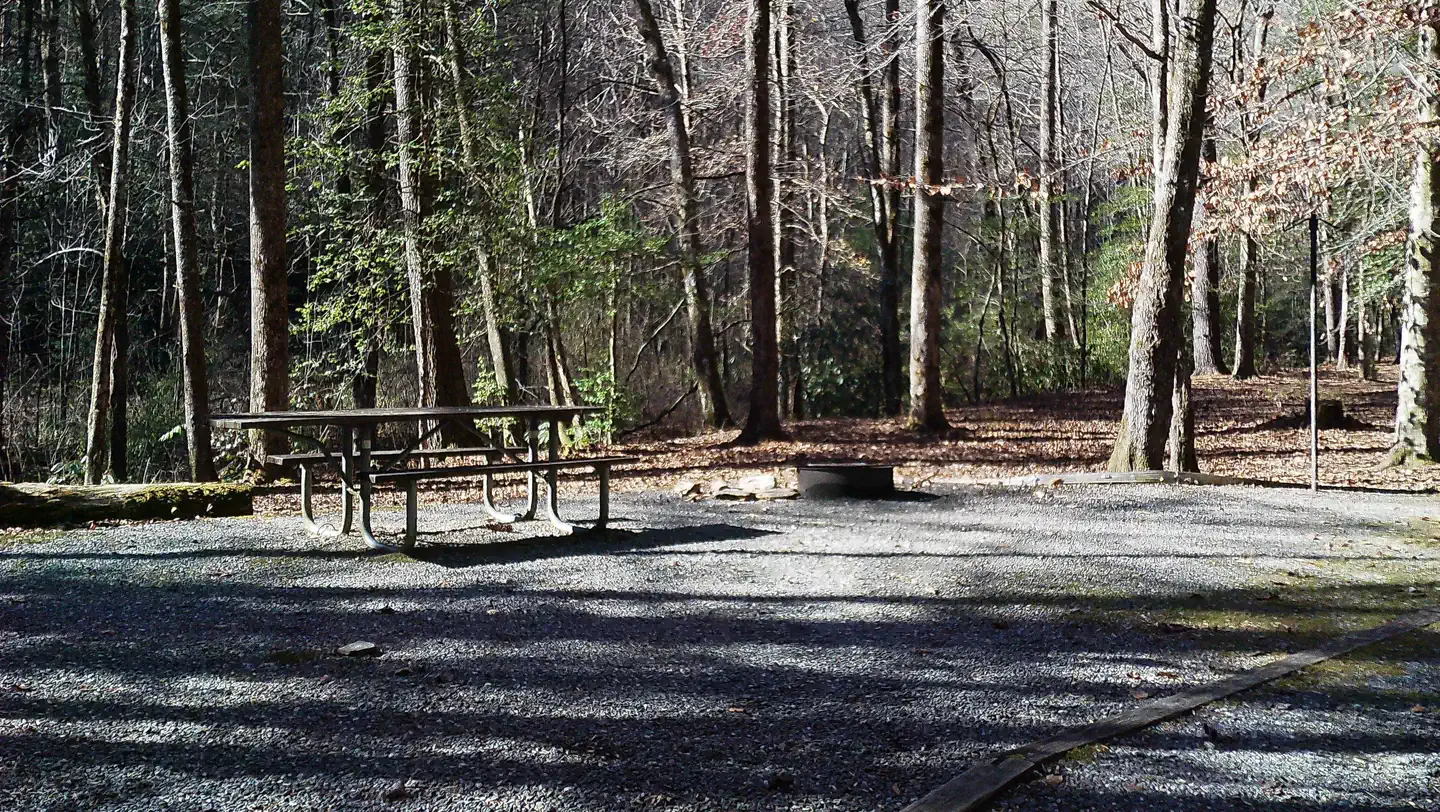
Upper Chattahoochee River Campground
DevelopedUSFS — Chattahoochee-Oconee NF
~2h 0m
Drive-up
None for camping
Included
Check Recreation.gov
Yes
19-site developed campground near the headwaters of the Chattahoochee. Short walking trail to Horse Trough Falls right from the back of the campground. Beautiful mountain approach.
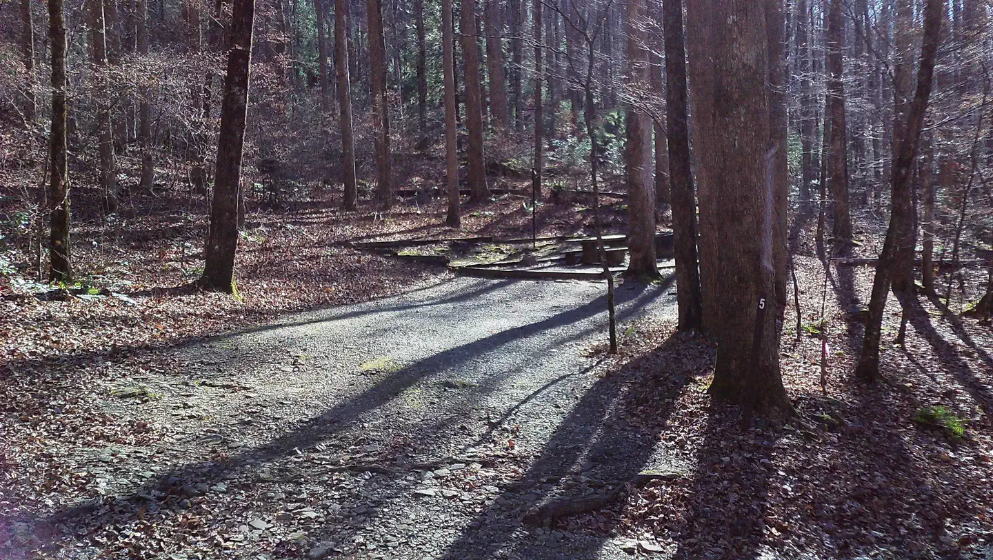
Andrews Cove Campground
DevelopedUSFS — Chattahoochee-Oconee NF
~1h 40m
Drive-up
None for camping
Included
$12–$18 / night
Yes
Peaceful streamside campground only about 15 minutes from the alpine village of Helen. Good balance of nature immersion and convenience.
Lake Russell Recreation Area Campground
DevelopedUSFS — Chattahoochee-Oconee NF
~1h 30m
Drive-up
None for camping (Senior/Acces…
Included
$24 single / $48 double
Yes
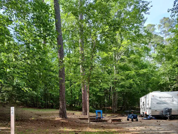
42-site campground on Lake Russell with both tent and RV options. Reservation only. Good for families who want water access without a long drive into the high mountains.
Frank Gross Recreation Area
DevelopedUSFS — Chattahoochee-Oconee NF (Ed Jenkins NRA)
~1h 55m
Drive-up
None for camping
Included
$8 / night
Yes
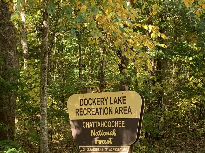
Smaller developed campground on Rock Creek in the Ed Jenkins National Recreation Area. Affordable and peaceful — good mid-week escape.
Shady Grove
Destination · day useUS Army Corps of Engineers — Lake Sidney Lanier
~1h 6m
Check the facility page (day-u…
See facility details
No camping here (facility) — camp nearby
This recreation area is part of Lake Sidney Lanier
Bartow County - Gatewood Park
Destination · day useUS Army Corps of Engineers — Allatoona Lake
~1h 35m
Check the facility page (day-u…
See facility details
No camping here (facility) — camp nearby
This recreation area is part of Allatoona Lake
PS Marina 3 - Allatoona Landing
Destination · day useUS Army Corps of Engineers — Allatoona Lake
~1h 29m
Check the facility page (day-u…
See facility details
No camping here (facility) — camp nearby
This recreation area is part of Allatoona Lake
Wildcat Creek Campground #2 Upper
DevelopedUSDA Forest Service
~2h 29m
See site details
Check site (America the Beauti…
See facility details
See Recreation.gov
No — first come
CLOSURE DUE TO WINTER WEATHER--JANUARY 14, 2022 storms have damaged the West Wildcat Road to not allow safe vehicle access to the campgrounds. Wildcat 2 Campground is closed. Cannot access with vehicle to clean COVID standards. Although the winding road leading to the campground is not trailer or RV friendly, the payoff of landing a night in this environment is pure delight. These developed tent camping only campgrounds are buried deep in the North Georgia Mountains west of Lake Burton and along the headwaters of Wildcat Creek. The creek, seasonally stocked with rainbow trout, runs directly ad
Jacks River Fields Campground
DevelopedUSDA Forest Service — Chattahoochee-Oconee National Forest
~2h 36m
See site details
Check site (America the Beauti…
See facility details
See Recreation.gov
No — first come
This quaint, secluded campground is situated on the bank of the south fork of the Jacks River. Surrounded by the yellow poplar, oak, hickory, and white pine forests of north Georgia, these 7 campsites are popular with campers, hikers and equestrians. Photos of campground
Hart State Park
Destination · day useUS Army Corps of Engineers — Hartwell Lake
~2h 23m
Check the facility page (day-u…
See facility details
No camping here (facility) — camp nearby
This recreation area is part of Hartwell Lake
River Forks
Destination · day useUS Army Corps of Engineers — Lake Sidney Lanier
~1h 17m
Check the facility page (day-u…
See facility details
No camping here (facility) — camp nearby
This recreation area is part of Lake Sidney Lanier
Brush Creek Campground
DevelopedUS Army Corps of Engineers — West Point Lake
~2h 4m
See site details
Check site (America the Beauti…
See facility details
See Recreation.gov
No — first come
This recreation area is part of West Point Lake
Chattooga River District
Destination · day useUSDA Forest Service — Chattahoochee-Oconee National Forest
~2h 28m
Check the facility page (day-u…
See facility details
No camping here (facility) — camp nearby
The Chattooga River Ranger District covers 261,035 acres in the northeast part of Georgia. Terrain ranges from the Piedmont in the southern part of the district to Georgia's second highest mountain, Rabun Bald at 4,696 feet above sea level. To the east is the Chattooga Wild and Scenic River. In the central part of the district are Lake Burton, Seed Lake, and Lake Rabun where you'll find the Rabun Beach Campground. In the western part of the district are the headwaters of the Chattahoochee River and the Upper Chattahoochee River Campground. The Appalachian National Scenic Trail passes through t
Southern Harbor
Destination · day useUS Army Corps of Engineers — West Point Lake
~2h 31m
Check the facility page (day-u…
See facility details
No camping here (facility) — camp nearby
This recreation area is part of West Point Lake
Richard B. Russell State Park
Destination · day useUS Army Corps of Engineers — Richard B. Russell Lake
~2h 25m
Check the facility page (day-u…
See facility details
No camping here (facility) — camp nearby
This recreation area is part of Richard B. Russell Lake
Shoal Creek
Destination · day useUS Army Corps of Engineers — Lake Sidney Lanier
~1h 1m
Check the facility page (day-u…
See facility details
No camping here (facility) — camp nearby
This recreation area is part of Lake Sidney Lanier
Leon E. Williams - Holiday Marina
Destination · day useUS Army Corps of Engineers — Allatoona Lake
~1h 28m
Check the facility page (day-u…
See facility details
No camping here (facility) — camp nearby
This recreation area is part of Allatoona Lake
Pyne Road Park
Destination · day useUS Army Corps of Engineers — West Point Lake
~2h 21m
Check the facility page (day-u…
See facility details
No camping here (facility) — camp nearby
This recreation area is part of West Point Lake
Highland Marina
Destination · day useUS Army Corps of Engineers — West Point Lake
~2h 15m
Check the facility page (day-u…
See facility details
No camping here (facility) — camp nearby
This recreation area is part of West Point Lake
Cottonwood Patch Campground
DevelopedUSDA Forest Service — Chattahoochee-Oconee National Forest
~2h 54m
See site details
Check site (America the Beauti…
See facility details
See Recreation.gov
No — first come
This hidden gem of a campground is located on the bank of the Conasauga River near the Tennessee/Georgia border. Iron Mountain trail is accessed directly from the campground. This simple campground is quite the treat for you and your four-legged friends. Day-use parking is available for those accessing the trail, but not camping. Photos of campground
US Naval Air Station
Destination · day useUS Army Corps of Engineers — Allatoona Lake
~1h 29m
Check the facility page (day-u…
See facility details
No camping here (facility) — camp nearby
This recreation area is part of Allatoona Lake
Don Carter State Park
Destination · day useUS Army Corps of Engineers — Lake Sidney Lanier
~1h 33m
Check the facility page (day-u…
See facility details
No camping here (facility) — camp nearby
This recreation area is part of Lake Sidney Lanier
Calhoun Falls State Park
Destination · day useUS Army Corps of Engineers — Richard B. Russell Lake
~2h 33m
Check the facility page (day-u…
See facility details
No camping here (facility) — camp nearby
This recreation area is part of Richard B. Russell Lake
Tugaloo State Park
Destination · day useUS Army Corps of Engineers — Hartwell Lake
~2h 21m
Check the facility page (day-u…
See facility details
No camping here (facility) — camp nearby
This recreation area is part of Hartwell Lake
Georgia Department of Natural Resources - Red Top Mountain
Destination · day useUS Army Corps of Engineers — Allatoona Lake
~1h 32m
Check the facility page (day-u…
See facility details
No camping here (facility) — camp nearby
This recreation area is part of Allatoona Lake
Conasauga Ranger District
Destination · day useUSDA Forest Service — Chattahoochee-Oconee National Forest
~2h 41m
Check the facility page (day-u…
See facility details
No camping here (facility) — camp nearby
The Conasauga Ranger District covers the western third of the Chattahoochee National Forest. A diverse set of landscapes make up the Conasauga district, from the ridges and valleys west of Interstate 75 to the Cohutta Mountains northeast of Chatsworh, GA. As you'll find in the links below, this part of the forest offers some of the best scenery and outdoor recreational activities in north Georgia.
Van Pugh South
Destination · day useUS Army Corps of Engineers — Lake Sidney Lanier
~1h 4m
Check the facility page (day-u…
See facility details
No camping here (facility) — camp nearby
This recreation area is part of Lake Sidney Lanier
Ball Field Dispersed Camping Area
Dispersed / FreeUSFS — Chattahoochee-Oconee NF (Conasauga RD)
~2h 30m
Drive-up
None
Free (Lake Conasauga day-use ~$5 if using those facilities)
Free
No — first come
Large open grassy field at the base of Bald Mountain. True dispersed feel with established fire rings. Excellent access to Cohutta Wilderness trails. High clearance recommended on the approach road in wet conditions.
Jones Creek Dispersed
Dispersed / FreeUSFS — Chattahoochee-Oconee NF
~1h 50m
Drive-up
None
Free
Free
No — first come
Riverside dispersed sites accessible via a narrow dirt road. More secluded feel. Good for smaller groups and those comfortable with primitive conditions.
Hickey Gap Campground (primitive)
Dispersed / FreeUSFS — Chattahoochee-Oconee NF
~2h 25m
Drive-up
None
Free
Free / low fee if marked
No — first come
Small primitive / dispersed-style sites along Mills Creek. Often quieter alternative near the Ball Field / Lake Conasauga corridor.
Ocmulgee Flats Hunt Camp (Oconee NF / WMA area)
WMA / WildlifeUSFS / Georgia DNR influence
~1h 15m
Drive-up
None for camping (hunting seas…
Free
Free
No — first come
Primitive dispersed-style camping in the Oconee portion of the national forest / hunt camp area. Closer to the Atlanta and middle-Georgia side — good for a quicker escape.
Crockford-Pigeon Mountain WMA (Blue Hole area)
WMA / WildlifeGeorgia DNR
~2h 10m
Drive-up
Georgia WMA / land access rule…
Check current regulations
Usually free with proper credentials
No — first come
Wildlife Management Area on the northwest side of Georgia with primitive camping opportunities. Different feel from national forest — more open and rugged in places.
Pine Log Mountain WMA
WMA / WildlifeGeorgia DNR
~1h 10m
Drive-up
Check Georgia DNR WMA requirem…
Varies
Usually free with proper credentials
No — first come
One of the more accessible WMAs north of Atlanta. Trails for hiking and mountain biking plus seasonal hunting. Primitive camping available under DNR rules.
Houston Valley OHV Area
OHV / 4x4USFS — Chattahoochee-Oconee NF (Conasauga RD)
~1h 40m
Drive-up
OHV day pass (~$5/operator) or…
Included with riding pass at staging area
No camping at staging; dispersed nearby under standard 14-day rules where allowed
No — first come
Largest Forest Service OHV trail system in Georgia. Trails range from easy forested routes to steep climbs and occasional mud/water crossings. Vehicles generally limited to ~50" width. Staging area is paved and handles large trailers.
Beasley Knob OHV Trail System
OHV / 4x4USFS — Chattahoochee-Oconee NF (Blue Ridge RD)
~2h 0m
Drive-up
OHV day or annual pass require…
At trailheads
OHV camping opportunities nearby — check current FS guidance
No — first come
Challenging trail system two miles east of Blairsville. Open to four-wheel drive vehicles, ATVs, and motorcycles on designated routes. Recommended for experienced riders; many segments rated difficult to most difficult.
Whissenhunt OHV Trails
OHV / 4x4USFS — Chattahoochee-Oconee NF
~1h 35m
Drive-up
1-day OHV pass ~$5/operator or…
At designated parking on FS 662
Not at trailhead; use nearby dispersed or developed sites
No — first come
About 11 miles of one-way OHV trails suitable for motorcycles and ATVs under 50" wide. Located roughly 6 miles north of Dahlonega. Daylight use; stay on signed trails only.
Oakey Mountain OHV Trails
OHV / 4x4USFS — Chattahoochee-Oconee NF (Chattooga River RD)
~2h 10m
Drive-up
OHV pass required (day or annu…
Trailhead parking
Trailhead / campground area nearby — confirm current status
No — first come
OHV area near Lake Burton and Lake Rabun with two-way trails for vehicles under ~48" axle width. Terrain ranges from intermediate to rocky and steep. Closes in wet conditions to protect resources.
Locust Stake OHV Trail System
OHV / 4x4USFS — Chattahoochee-Oconee NF (Chattooga RD)
~2h 5m
Drive-up
OHV trail permit required
Limited staging parking
Overnight parking not permitted at staging
No — first come
Roughly 10 miles of two-way trail loops open to machines 48" or less in width. Moderate difficulty; can be dusty when dry. Daylight riding only; overnight parking at the staging area is not allowed.
Oakhaven Ridge (private nature stay)
PrivatePrivate host
~1h 35m
Drive-up
None — private land (host appr…
Included
$35–$55 / night
Yes
Two primitive tent sites on a private ridge north of Atlanta. No hookups, no rows of RVs — just woods, a shared compost toilet, and space to actually hear the land. Host lives on the property and keeps capacity low on purpose.
Mill Creek Meadow (private nature stay)
PrivatePrivate host
~1h 20m
0.15 mi · +40 ft
None — private land
Park at designated pull-off
$40 / night
Yes
A single meadow site on private land east of Athens. Short walk from the parking pull-off. Intentionally one site only — the host refused to add more so the meadow stays a meadow.
Data source: RIDB + Georgia enrichment (dispersed / WMA / OHV / private examples).