Find a place to immerse
Live federal data (RIDB) + curated · AL
Drive times are rough estimates from metro Atlanta / Conyers — check your own route before you leave. Confirm fees, passes, and access on the official page before you go.
Map of results
Click a pin for the site. For turn-by-turn, open a site and use Google / Apple / Waze — we don't replace your preferred maps app.
Research map · not turn-by-turn nav
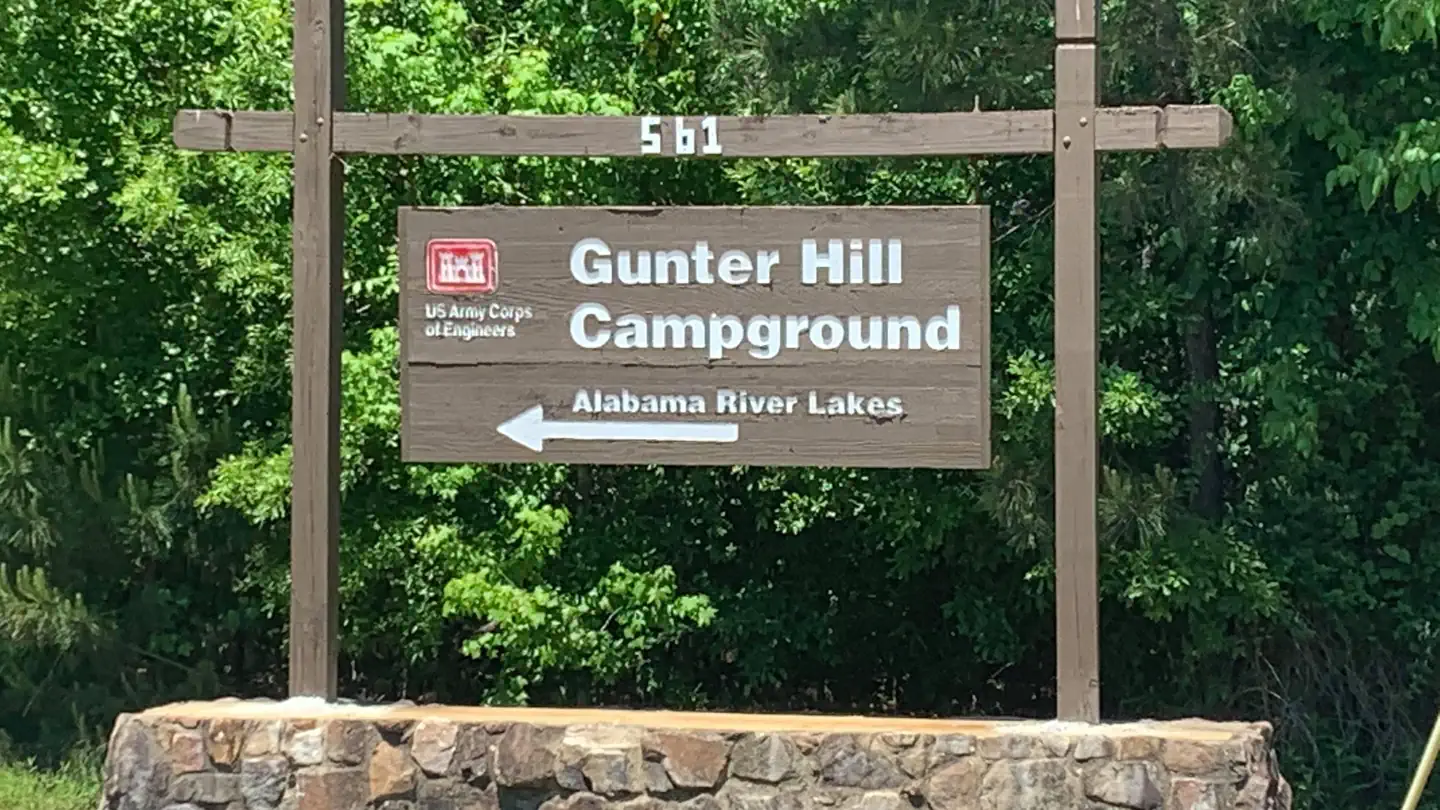
GUNTER HILL
DevelopedUS Army Corps of Engineers — Alabama River Lakes
~5h 0m
See site details
Check site (America the Beauti…
See facility details
See Recreation.gov
Yes
Overview Gunter Hill Campground offers a peaceful scene of trees and nature on the backwaters of the Alabama River. The fishing is excellent, providing challenges for the master angler as well as the occasional cane pole fisherman. Boating, hunting and hiking are popular activities. Recreation The area's waterways offer excellent fishing for crappie, bass and catfish. A boat ramp is provided for easy river access. The Lowndes Wildlife Management area, located nearby, covers 12,500 acres and offers prime hunting for whitetail deer, wild turkeys and hogs, and a variety of small game and waterfow
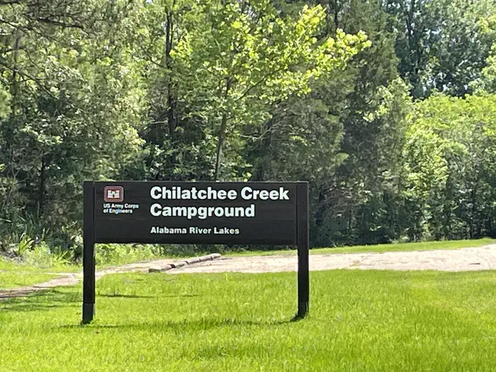
CHILATCHEE CREEK
DevelopedUS Army Corps of Engineers — Alabama River Lakes
~6h 26m
See site details
Check site (America the Beauti…
See facility details
See Recreation.gov
Yes
Overview Chilatchee Creek Campground is located on its namesake at scenic Dannelly Reservoir in Alabama's Black Prairie Belt. The reservoir sits on the Alabama River and covers roughly 27 square miles, boasting more than 500 miles of shoreline. Boating, fishing, hunting and hiking are popular activities. Recreation The park offers excellent fishing for bass, crappie, bluegill and catfish, and numerous fishing tournaments and annual festivals are held in the immediate area. Whitetail deer and wild turkeys roam the park, creating excellent bow-hunting opportunities. Facilities This waterfront ca
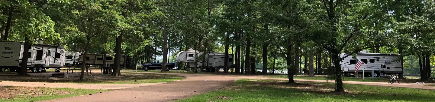
PICKENSVILLE CG (PICKENSVILLE AL)
DevelopedUS Army Corps of Engineers — Tennessee-Tombigbee Waterway
~7h 22m
See site details
Check site (America the Beauti…
See facility details
See Recreation.gov
Yes
Overview Pickensville Campground is located just west of Pickensville, Alabama, on Aliceville Lake on the Tennessee-Tombigbee Waterway. This campground boasts both a campground and day use area with many activities and amenities for families and outdoor enthusiasts. Visitors enjoy hunting, fishing, picnicking, water sports and watching the barges go by on the waterway. Recreation Families can swim at Pickensville's beach, play on the multi-use court, walk along the wooded waterfront and learn about the natural and cultural history of the area at the amphitheater. Anglers can try their luck on
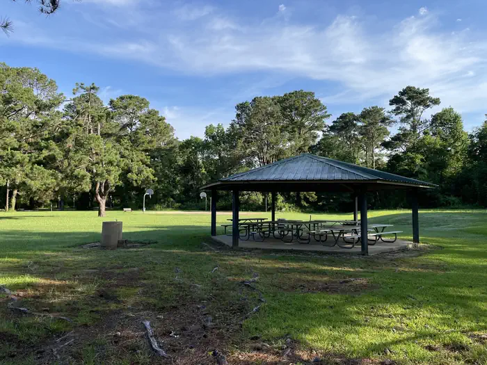
MILLERS FERRY CAMPGROUND
DevelopedUS Army Corps of Engineers — Alabama River Lakes
~6h 38m
See site details
Check site (America the Beauti…
See facility details
See Recreation.gov
Yes
Overview Millers Ferry Campground, also known as East Bank, is located on scenic Dannelly Reservoir in Alabama's Black Prairie Belt. The reservoir sits on the Alabama River and covers roughly 27 square miles, boasting more than 500 miles of shoreline. Boating, fishing, hunting and hiking are popular activities. Recreation The park offers excellent fishing for bass, crappie, bluegill and catfish, and numerous fishing tournaments and annual festivals are held in the immediate area. Whitetail deer and wild turkeys roam the park, creating excellent bow-hunting opportunities. Facilities This campgr
WHITE OAK (CREEK) CAMPGROUND
DevelopedUS Army Corps of Engineers — Walter F. George Lake
~4h 21m
See site details
Check site (America the Beauti…
See facility details
See Recreation.gov
Yes
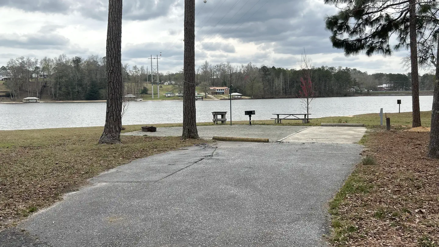
Overview White Oak Creek Campground is situated on the shores of Walter F. George Lake on the Georgia and Alabama border. The lake is a great place to get away for a week, a weekend or just an afternoon. Boating, swimming, fishing and camping are popular activities. Click here for a virtual tour of the many facilities at Walter F. George Lake. Recreation The Chattahoochie River lakes are an angler's paradise, where largemouth bass, white bass, hybrids, crappie, channel catfish and bream are found. The lake's 640 miles of shoreline offer many excellent locations for bank fishing, and a boat ram
HOUSTON SHELTER
DevelopedUSDA Forest Service — National Forests in Alabama
~5h 41m
See site details
Check site (America the Beauti…
See facility details
See Recreation.gov
Yes
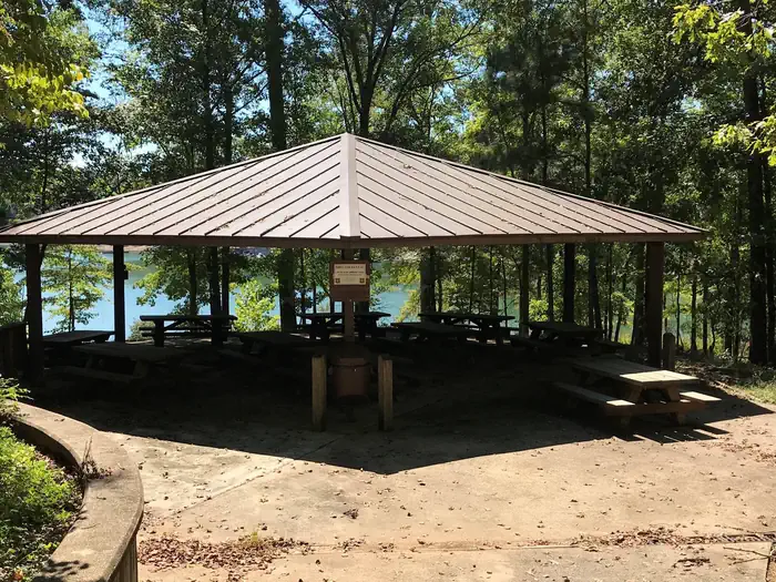
Overview Houston Shelter is a group picnic site nestled on the shore of Lake Lewis Smith in Bankhead National Forest. This is a popular recreation area offering a variety of activities. Shelter is first come first served. Site is walk-up only. Recreation Day users can enjoy a beautiful sand swimming beach. Other activities include motorized and non-motorized boating and water skiing. Anglers can fish for Kentucky Spotted Bass and Hybrid Striped Bass. There are also hiking trails in the area, including the 1.4 mile High Rock Loop and the nearly 2 mile Fox Run Loop. Facilities The picnic facilit
HARDRIDGE CREEK
DevelopedUS Army Corps of Engineers — Walter F. George Lake
~4h 34m
See site details
Check site (America the Beauti…
See facility details
See Recreation.gov
Yes
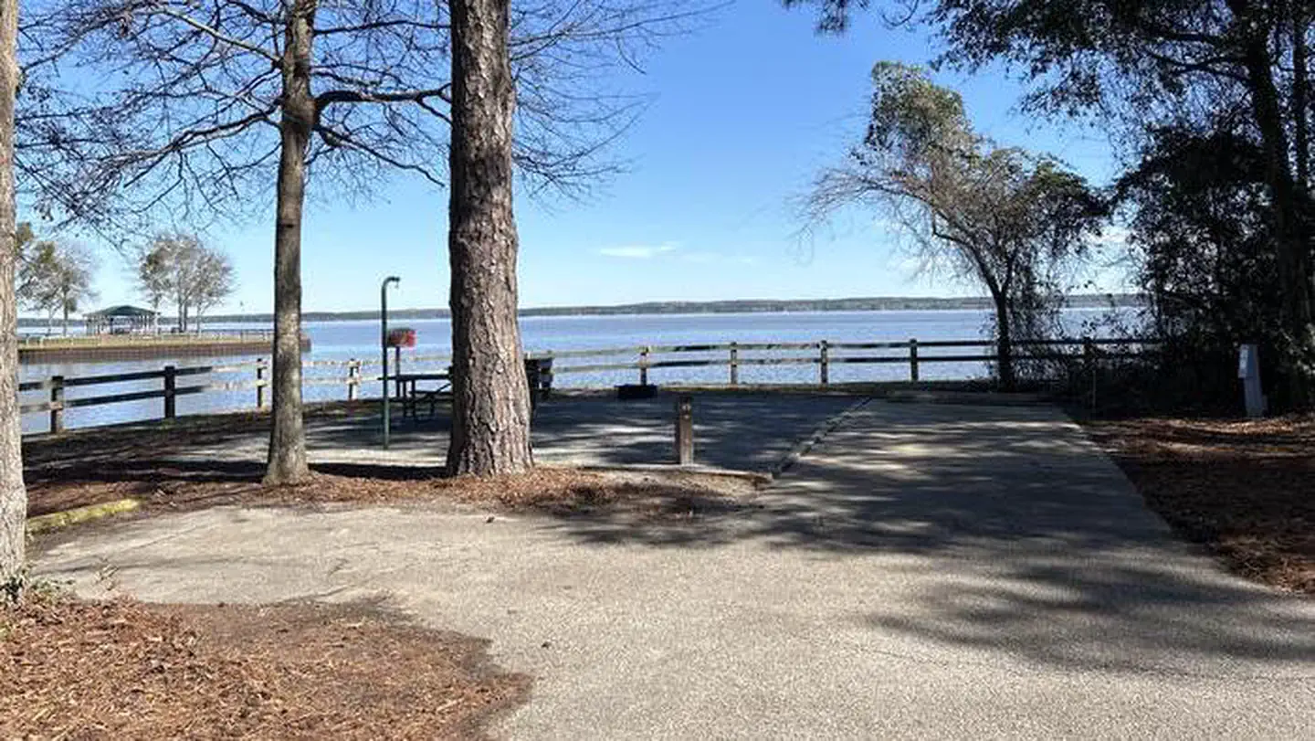
Overview Hardridge Creek Campground is situated on the shores of Walter F. George Lake on the Georgia and Alabama border. The lake is a great place to get away for a week, a weekend or just an afternoon. Boating, swimming, fishing and camping are popular activities. Click here for a virtual tour of the many facilities at Walter F. George Lake. Recreation The Chattahoochie River lakes are an angler's paradise, where largemouth bass, white bass, hybrids, crappie, channel catfish and bream are found. The lake's 640 miles of shoreline offer many excellent locations for bank fishing, and a boat ram
SIX MILE CREEK
DevelopedUS Army Corps of Engineers — Alabama River Lakes
~5h 52m
See site details
Check site (America the Beauti…
See facility details
See Recreation.gov
Yes
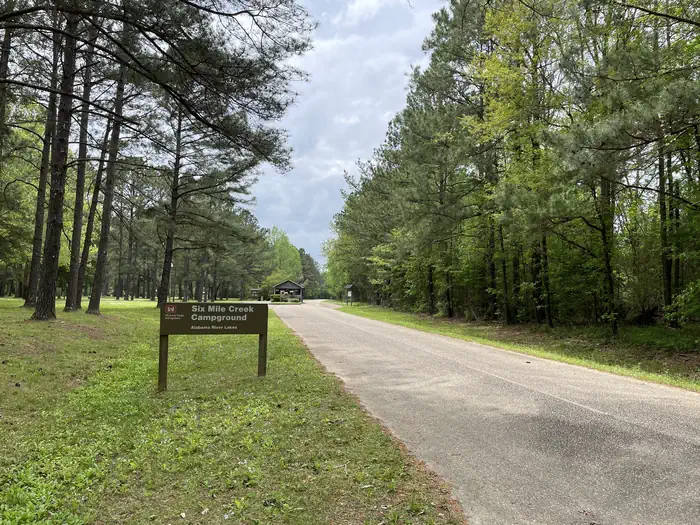
Overview Six Mile Creek Campground is located on its namesake at scenic Dannelly Reservoir in Alabama's Black Prairie Belt. The reservoir sits on the Alabama River and covers roughly 27 square miles, boasting more than 500 miles of shoreline. Boating, fishing, hunting and hiking are popular activities. Recreation The creek offers excellent fishing for bass, crappie, bluegill and catfish, and numerous fishing tournaments and annual festivals are held in the immediate area. Whitetail deer and wild turkeys roam the park, creating excellent bow-hunting opportunities. Facilities This peaceful water
SERVICE
DevelopedUS Army Corps of Engineers — Black Warrior and Tombigbee Lakes
~8h 10m
See site details
Check site (America the Beauti…
See facility details
See Recreation.gov
Yes
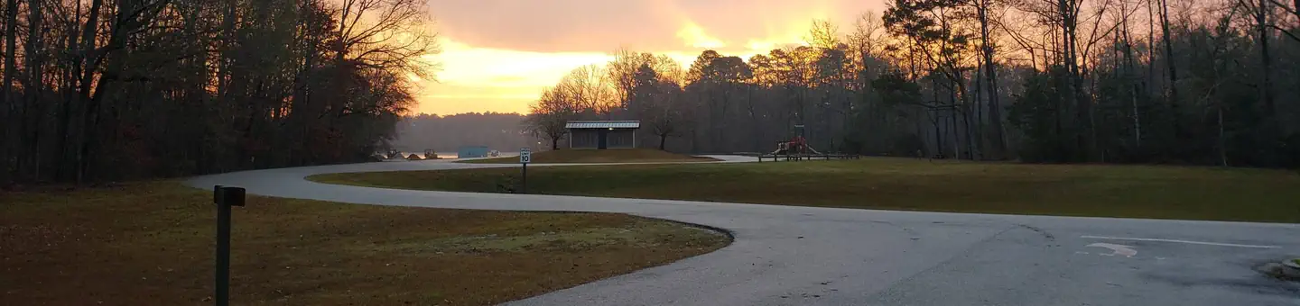
Overview Service Campground is situated along the high banks of Coffeeville Lake, the third largest lake on the Black Warrior-Tombigbee Waterway in Alabama. With a surface area of 8,800 acres and a length of 97 miles, the area provides excellent opportunities for camping, fishing and boating. Recreation Fishing is the most popular activity on the waterway. Whether fishing on or off shore, anglers can fish for bass, crappie, bream, catfish and other species. Visitors have the convenience of a boat ramp, and children can make use of the facility's playground. Campers can also sit back and enjoy
BURCHFIELD BRANCH PARK
DevelopedUS Army Corps of Engineers — Black Warrior and Tombigbee Lakes
~5h 46m
See site details
Check site (America the Beauti…
See facility details
See Recreation.gov
Yes
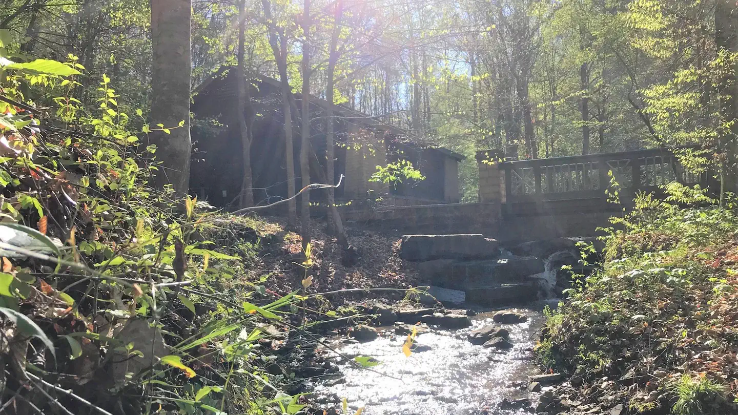
Overview Burchfield Branch Park is located near Holt Lake on the Black Warrior-Tombigbee Waterway northeast of Tuscaloosa, Alabama. With many amenities, access to the water and opportunities to view wildlife, Burchfield Branch provides a convenient camping spot for families, boaters, swimmers, picnickers and sightseers. Recreation Fishing is the most popular activity on the waterway. Whether fishing by boat or along the shore of the park, anglers can find bass, crappie, bream, catfish and more. Families can enjoy biking and swimming along the lakeshore, watching for birds and animals or taking
BLUFF CREEK
DevelopedUS Army Corps of Engineers — Walter F. George Lake
~3h 31m
See site details
Check site (America the Beauti…
See facility details
See Recreation.gov
Yes
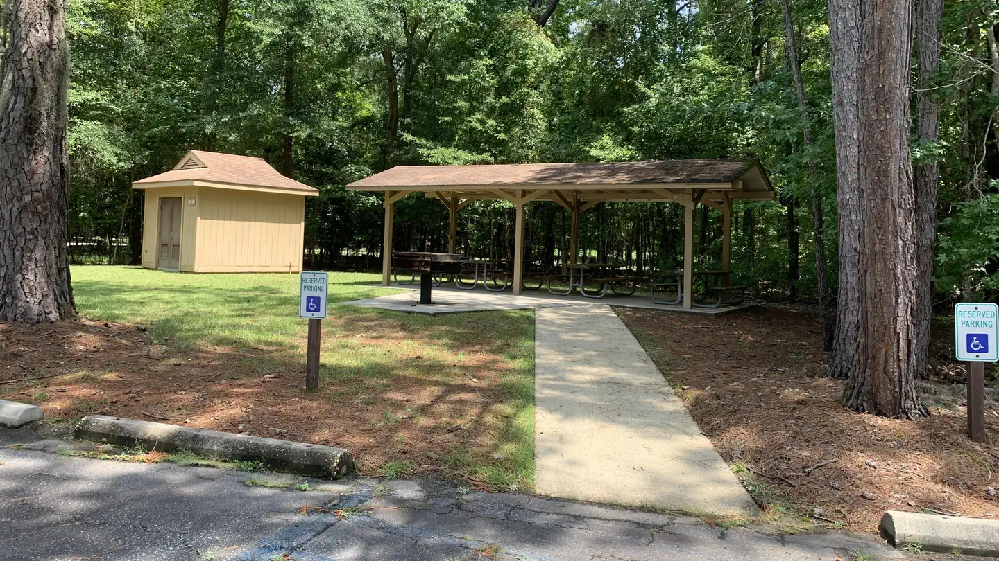
Overview Bluff Creek Campground is situated on the shores of Walter F. George Lake on the Georgia and Alabama border. The lake is a great place to get away for a week, a weekend or just an afternoon. Boating, swimming, fishing and camping are popular activities. Click here for a virtual tour of the many facilities at Walter F. George Lake. Recreation The Chattahoochie River lakes are an angler's paradise, where largemouth bass, white bass, hybrids, crappie, channel catfish and bream are found. The lake's 640 miles of shoreline offer many excellent locations for bank fishing, and a boat ramp is
FORKLAND
DevelopedUS Army Corps of Engineers — Black Warrior and Tombigbee Lakes
~6h 59m
See site details
Check site (America the Beauti…
See facility details
See Recreation.gov
Yes
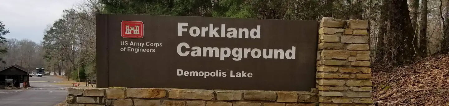
Overview Forkland Campground is located in a beautiful wooded area on the northern shore of Demopolis Lake, the largest lake on the Black Warrior-Tombigbee Waterway. Demopolis Lake offers 10,000 acres of water to explore and serves as a quiet and convenient retreat from the two nearby cities of Demopolis and Tuscaloosa, Alabama. Recreation Fishing is the most popular activity on the waterway. Whether fishing by boat or along the bank of the park, anglers can find bass, crappie, bream, catfish and other species. Day-use visitors and campers alike can enjoy a boat ramp and hiking trail at the ca
DEERLICK CREEK
DevelopedUS Army Corps of Engineers — Black Warrior and Tombigbee Lakes
~5h 55m
See site details
Check site (America the Beauti…
See facility details
See Recreation.gov
Yes
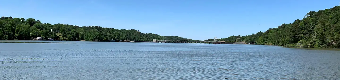
Overview Deerlick Creek Campground is located on Holt Lake on the Black Warrior-Tombigbee Waterway northeast of Tuscaloosa, Alabama. The facility is in a beautiful forest along the shoreline, providing campers and day-use visitors with access to water sports, boating, fishing, swimming, hiking and biking. Recreation Campers can explore the lakeshore using the campground's hiking trails as well as a paved bicycle trail. The waterway is popular for fishing for bass, crappie, bream, catfish and more. Facilities Deerlick Creek has 46 campsites with water and electric hookups, six of which are desi
PRAIRIE CREEK (AL)
DevelopedUS Army Corps of Engineers — Alabama River Lakes
~5h 29m
See site details
Check site (America the Beauti…
See facility details
See Recreation.gov
Yes
Overview Prairie Creek Campground is situated beneath moss-draped oaks on the banks of Woodruff Lake. The lake is part of the scenic Alabama River in the region's Black Prairie Belt. For sportsmen, the campground offers a wonderful opportunity to relax between fishing and hunting trips. Water sports and hiking are also popular activities. Recreation Woodruff Lake offers excellent fishing for bass, crappie, bluegill and catfish. Boating, jet skiing and other water sports are big draws to the lake, and a boat ramp is provided for easy water access. The Lowndes Wildlife Management area, located n
ISAAC CREEK
DevelopedUS Army Corps of Engineers — Alabama River Lakes
~7h 25m
See site details
Check site (America the Beauti…
See facility details
See Recreation.gov
Yes
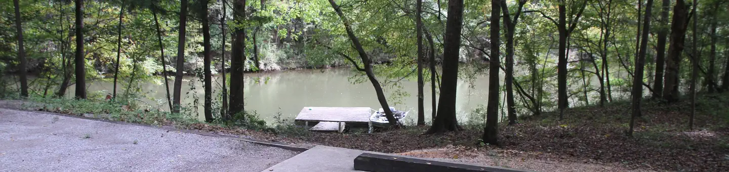
Overview Isaac Creek Campground is located on Claiborne Lake in Alabama's southwest Hill Country. The lake encompasses more than 60 miles of the Alabama River, and Isaac Creek has great appeal to sportsmen, birders, naturalists or those simply wanting to relax in the outdoors. Recreation The area's waterways offer anglers the opportunity to fish for largemouth bass, crappie, bluegill and catfish. Boating and water sports are also a main draw to the lake, and a boat ramp is provided for easy water access. The vast expanse of surrounding land allows for bow and shotgun hunting for game like whit
Little River Canyon National Preserve
Destination · day useNational Park Service — Little River Canyon National Preserve
~2h 53m
None for the preserve, Little …
Free — Little River Falls lot holds 100 cars with RV/bus spaces
NO camping anywhere in the preserve — day use only. Nearest camping: DeSoto State Park, 15 min north.
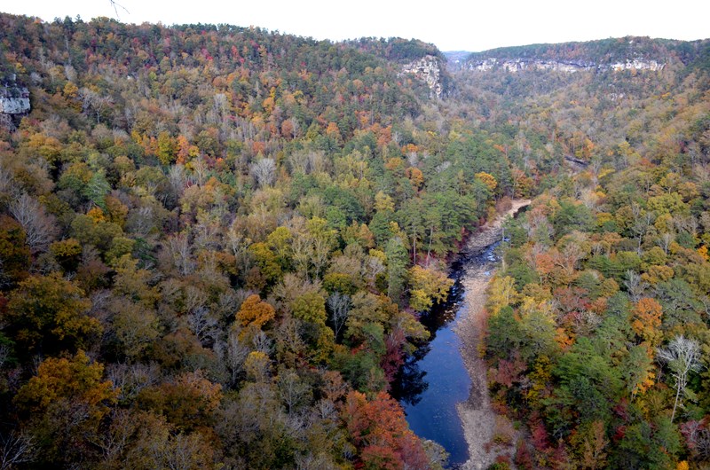
A 15,000-acre sandstone canyon on Lookout Mountain about 10 miles east of Fort Payne: Little River Falls, a 23-mile rim parkway with eight overlooks, canyon swim holes, and a 4WD backcountry. Open sunrise to sunset with no entrance fee (except Canyon Mouth Park). There is no camping in the preserve — sleep at DeSoto State Park next door and drive in each morning.
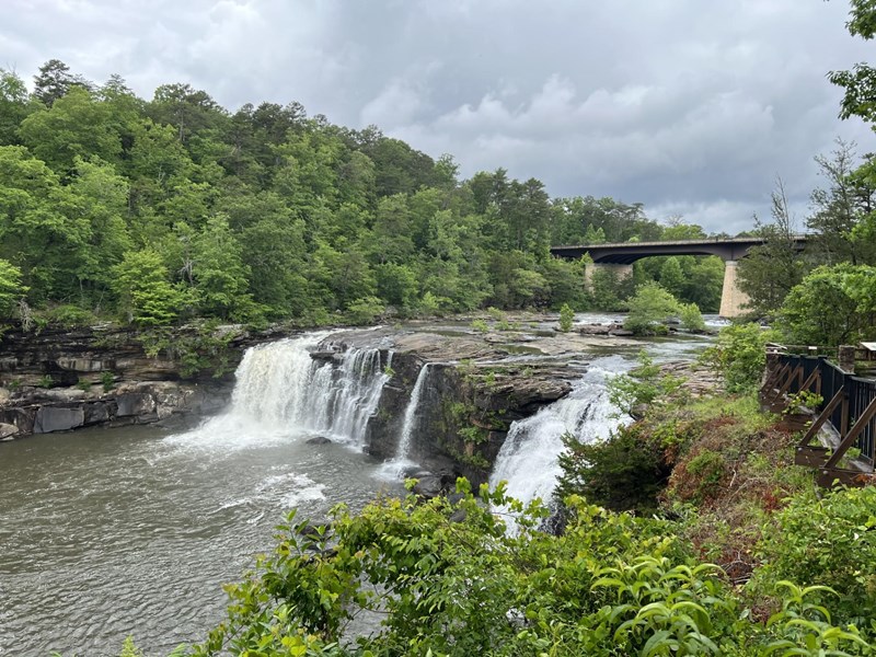
Little River Falls & Blue Hole (free day use)
Destination · day useNational Park Service — Little River Canyon National Preserve
~2h 52m
None
Free — 100-car lot on the west side of the AL-35 bridge, restrooms mid-lot
No camping and no overnight parking; the area closes after dark.
The 45-foot waterfall where the canyon begins, right at the AL-35 bridge — the easiest big payoff in the preserve. Free lot, restrooms, and an ADA boardwalk to the overlook. By late summer the flow drops and the ledges above and below the falls turn into wading and swimming pools; the Little Falls Trail drops 137 stone steps to a river-wide sandstone shelf that is the local favorite swim spot.
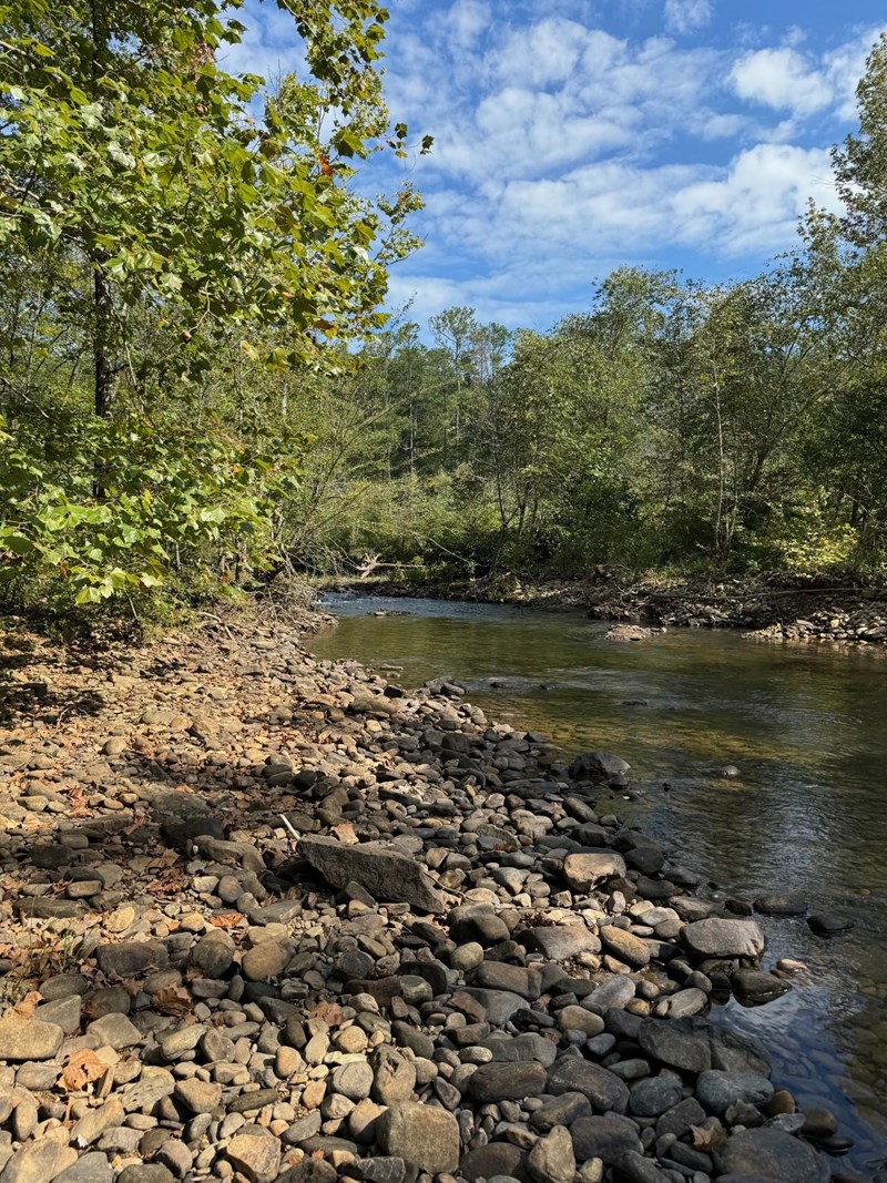
Canyon Mouth Park ($15/vehicle day use)
Destination · day useNational Park Service — Little River Canyon National Preserve
~2h 57m
$15 per vehicle per day, or $3…
Included in the $15 entrance
No camping. Gates close promptly (summer 8 AM–7 PM Central) — vehicles left inside get ticketed or locked in.
The shady family end of the canyon, at its southern mouth near Cedar Bluff in Cherokee County — and the only fee area in the preserve. Easy river access, lots of shade, grills, and a flat one-mile trail along the water. Reach it from AL-273 onto Cherokee CR-275, or down 11 steep, winding miles from Eberhart Point (no trailers or RVs).
Turnipseed Campground
DevelopedUSDA Forest Service — National Forests in Alabama
~3h 9m
See site details
Check site (America the Beauti…
See facility details
See Recreation.gov
No — first come
Enjoy nature at its best especially during the fall when mother nature dazzles you with an array of vibrant colors. This primitive camp is located near the Cheaha Wilderness Area and offers camping and hiking. Turnipseed Camp has sanitary facilities.
Brushy Lake Recreation Area
Destination · day useUSDA Forest Service — National Forests in Alabama
~5h 42m
Check the facility page (day-u…
See facility details
No camping here (facility) — camp nearby
Brushy Lake Recreation Area offers everything from camping, picnicking, boating, and fishing to sanitary facilities including a bathhouse.A 33-acre lake, Brushy Lake has 13 campsites that accommodate very small recreational vehicles and tents. Campers occupy sites on a first come, first serve basis.
Ft. Toulouse
Destination · day useUS Army Corps of Engineers — Alabama River Lakes
~4h 32m
Check the facility page (day-u…
See facility details
No camping here (facility) — camp nearby
This recreation area is part of Alabama River Lakes
McDougle Camp
Destination · day useUSDA Forest Service — National Forests in Alabama
~5h 51m
Check the facility page (day-u…
See facility details
No camping here (facility) — camp nearby
McDougle Camp
Roland Cooper
Destination · day useUS Army Corps of Engineers — Alabama River Lakes
~6h 29m
Check the facility page (day-u…
See facility details
No camping here (facility) — camp nearby
This recreation area is part of Alabama River Lakes
Payne Lake Recreation Area
Destination · day useUSDA Forest Service — National Forests in Alabama
~6h 6m
Check the facility page (day-u…
See facility details
No camping here (facility) — camp nearby
Payne Lake Recreation Area offers the outdoor enthusiasts solitude, a scenic lake, and picturesque campsites. Payne Lake Recreation Area has two swimming beaches and bathhouses for users of the recreation area. Each bathhouse has restrooms and showers. Camping is permitted at 76 developed sites along the shoreline of the 110-acre Payne Lake. Each site has a picnic table, cooking or fire circle, and tent or trailer pad. Payne Lake Recreation Area is open year round and offers boating, nature trails, fishing, picnicking and swimming opportunities for Forest users. A trailer dump station is locat
Pine Glen Recreation Area
Destination · day useUSDA Forest Service — National Forests in Alabama
~2h 43m
Check the facility page (day-u…
See facility details
No camping here (facility) — camp nearby
Pine Glen Recreation Area offers camping sites for 21 campsites, cooking grills, sanitary facilities, fishing, hiking, and access to the Pinhoti Trail. Use of Pine Glen Recreation Area is on a first come, first serve basis. It’s a favorite with hunters because it is centrally located in the Choccolocco Wildlife Management Area.
Big Oak Physically Disabled Hunting Camp
Destination · day useUSDA Forest Service — National Forests in Alabama
~2h 38m
Check the facility page (day-u…
See facility details
No camping here (facility) — camp nearby
Big Oak Hunter Camp is our only physically disabled hunting area in the Talladega National Forest. This camp is a 1700 acre hunting unit for physically disabled hunters possessing the required State permits in Choccolocco Wildlife Management Area. Big Oak Hunter Camp also has sanitary facilities.
Open Pond Recreation Area
Destination · day useUSDA Forest Service — National Forests in Alabama
~6h 53m
Check the facility page (day-u…
See facility details
No camping here (facility) — camp nearby
Scenic views, well-maintained facilities, and a diversity of recreational opportunities await you at Open Pond Recreation area. The campground at Open Pond includes primitive sites as well as those with water and electric hook-ups, with easy access to boating, fishing, hiking, and bicycle riding. Open Pond Recreation Area also includes a day-use area designed for peaceful picnicking with a panoramic view of Open Pond. A group shelter here was built in the 1930's by the Civilian Conservation Corps (CCC). It retains its original distinct design and is interesting to those who enjoy CCC history.
Coleman Lake Recreation Area
Destination · day useUSDA Forest Service — National Forests in Alabama
~2h 39m
Check the facility page (day-u…
See facility details
No camping here (facility) — camp nearby
The newly renovated Coleman Lake Recreation Area is peacefully nestled into the Talladega mountains. For recreationists who want to get away from the crowds, but want a few modern conveniences, Coleman Lake Recreation Area is your place to be. There are 39 campsites with water and electrical hookups, bathhouses, 29 picnicking units, a 21-acre lake and access to the Pinhoti Trail. Two new comfort stations and seven camping sites are fully accessible for the physically challenged. Most sites will accommodate recreational vehicles up to 35 feet in length. A picnic shelter that seats 40 is availab
DeSoto Falls (day use)
Destination · day useAlabama State Parks — DeSoto State Park
~3h 10m
None stated for the falls day-…
Day-use lot at the falls overlook
No camping at the falls — camp in DeSoto State Park a few minutes south.
A tall waterfall on the West Fork of the Little River in its own day-use area a few miles north of DeSoto State Park's campground — one of the most photographed falls in Alabama. Short walk from the lot to the overlooks. Flow depends on recent rain, so late summer can be thin.
DeSoto State Park — Improved Campground
State ParkAlabama State Parks — DeSoto State Park
~3h 4m
Drive-up
None to camp. America the Beau…
Included with your campsite
Rates vary by season and are not published online — call 256-845-5075. Plus a one-time $5.25 reservation fee and a 4.25% resort fee per night, paid in full at booking.
Yes
The base camp for Little River Canyon: a 3,500-acre state park on Lookout Mountain 8 miles northeast of Fort Payne, 15 minutes from the Canyon Center. Wooded full-hookup sites with real showers and laundry, plus the park's own waterfalls and 35 miles of trail. Book on the Alabama State Parks site — not Recreation.gov — or call the campground desk directly.
DeSoto State Park — Primitive Campground (walk-in tent)
State ParkAlabama State Parks — DeSoto State Park
~3h 4m
0.1 mi
None to camp
Included — short walk in from the primitive lot; gate key issued at check-in
Rates vary by season — call 256-845-5075. Plus the $5.25 reservation fee and 4.25% resort fee per night.
Yes
The quiet way to sleep at DeSoto — 18 walk-in tent sites in the woods with fire rings, a vault toilet and water, no RVs and no hookups. Same 15-minute drive to the canyon, and you can still use the showers at the improved loop. Two backpacking shelters (Never-Never Land, 0.75 mi from the Lost Falls trailhead, and CCC Quarry) if you want a true hike-in night.
Cherokee Rock Village
DevelopedCherokee County / Southeastern Climbers Coalition — Leesburg, AL
~3h 16m
Drive-up
Day use is charged per vehicle…
Day use: about $7 per car (vans/buses more) — confirm on site
$19/night for the first-come tent-only section; reserved brow and RV sites vary
No — first come
A boulder field of house-sized sandstone towers on the brow of Lookout Mountain above Weiss Lake, about 40 minutes southwest of Little River Canyon. It is Alabama's best-known climbing area, and the reason it belongs on this list for a late plan: a tent-only section stays first-come, first-served at $19 a night, so you can drive up without a reservation.
Data source: RIDB + curated Alabama state parks, destinations & county parks (verified Aug 2026).