SYCAMORE FLATS PICNIC SHELTER
Federal / Recreation.gov
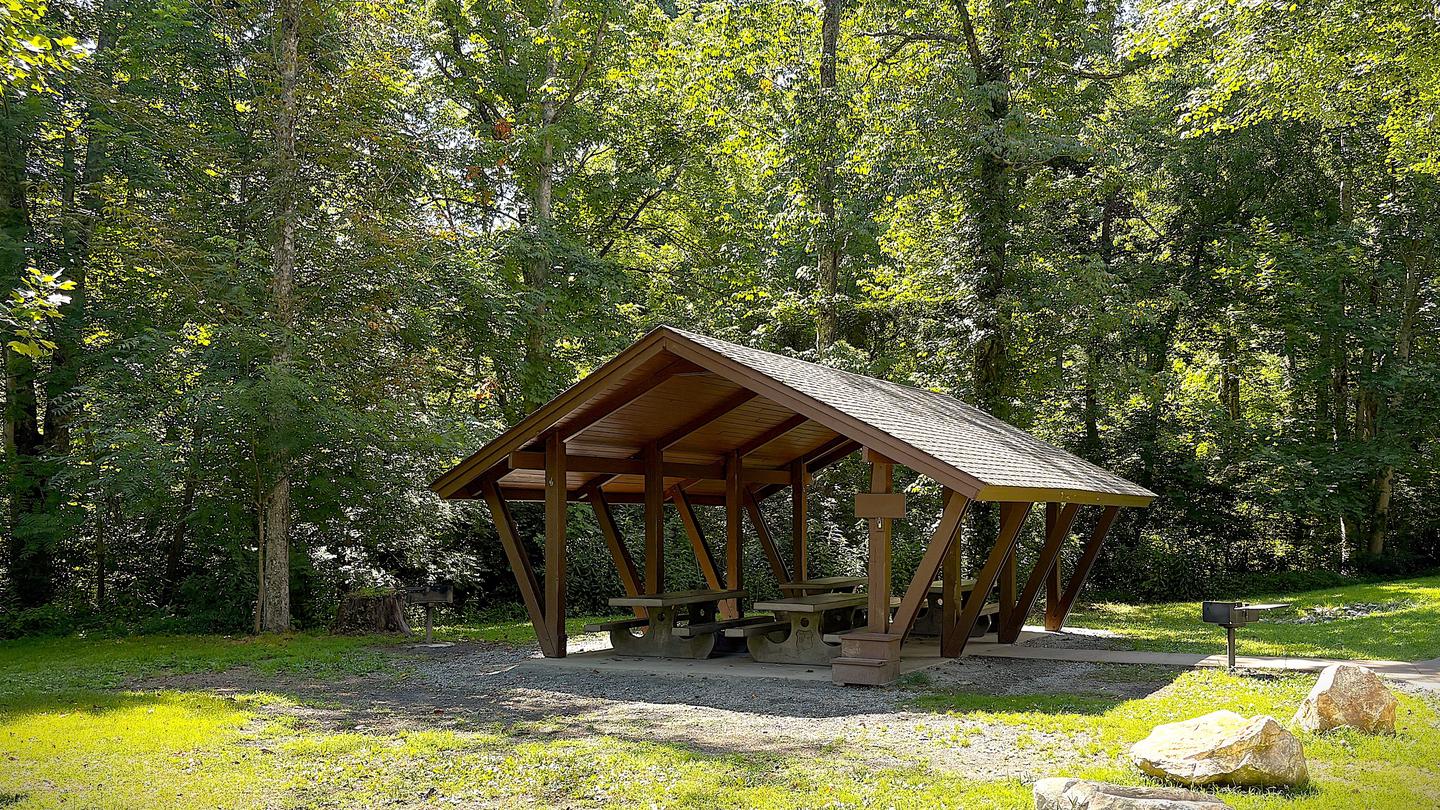
Photo from the managing agency (Recreation.gov / agency). Confirm current conditions before you go.
Overview Sycamore Flats Recreation Area will be closed indefinitely beginning Monday, September 21 due to construction. We sincerely apologize for the inconvenience and appreciate your understanding as this critical infrastructure work moves forward. Sycamore Flats Picnic Shelter is located along the Davidson River on the Pisgah National Forest. This picnic area was named for the sycamore trees which line the banks of the river. The shelter is available on a first come, first served basis from mid-November to April 15th. Reservations are available April 16th through mid-November. Some amenitie
Location
Research the approach roads and terrain here. When you're ready to drive, open directions in your preferred app below.
Research map · not turn-by-turn nav
35.27528, -82.71056
Get directions
Opens in the app you already use — we don't replace Apple Maps, Google Maps, or Waze.
Tip: download offline maps before you lose cell service in the woods.
Trip-ready check
Live · National Weather Service · updated 11:49 AMWhat to check the night before you leave — forecast, alerts, and daylight for Brevard, NC.
Today
70°F
Sunny
wind 1 mph
Tonight
42°F
Mostly Clear then Patchy Fog
wind 1 mph
Tuesday
71°F
Patchy Fog then Sunny
wind 0 to 3 mph
Tuesday Night
42°F
Mostly Clear
wind 2 mph
Wednesday
67°F
Partly Sunny
wind 0 to 3 mph
Wednesday Night
43°F
Mostly Cloudy
wind 2 mph
Forecast: weather.gov point forecast. Conditions change — re-check the morning you leave.
Everything you need to know
- Drive time (set your own plan)
- Not estimated for this listing — map it from your home
- Access
- See details
- Hike-in
- Confirm on site / map
- Pass required
- Check site (America the Beautiful often covers day-use; camping fees separate)
- Parking
- See facility details
- Camping fee
- See Recreation.gov
- Max stay
- Check local rules
- Reservation
- Required · Recreation.govWindow: Typically 6 months rolling (check site)
Schedule this trip
Pick nights that show openings, save them to My Trips, then reserve on Recreation.gov so the campsite is actually held for you.
Immerse helps you plan and track dates. Official reservations (and payment) happen on Recreation.gov for public campgrounds — that's what actually holds your site.
Sample 2-night immersion plan
A starting template — not a booked itinerary. Adjust once you lock dates on Recreation.gov or with a host.
Day 0 — Departure
- Leave with buffer for the ~drive + grocery / ice stop
- Arrive, set up camp, short walk to orient
- Simple dinner + early night if traveling after work
Day 1 — Main immersion
- Longer hike or creek time in the afternoon
- Campfire, quiet evening
Day 2 — Morning + departure
- Slow morning, coffee, short walk
- Pack out (Leave No Trace)
- Optional stop on the way home
Share your adventure
Link a YouTube video from your trip so others can see what the land feels like — and so parks can see real people loving their places.
Post YouTube adventure →